
Population 1,422 (2006 census) Area 110 ha | Postcode(s) 6530 Tarcoola Beach Wandina Postal code 6530 | |
 | ||
LGA(s) | ||
Tarcoola Beach is a southern coastal suburb of Geraldton, Western Australia. Its local government area is the City of Greater Geraldton.
Contents
Map of Tarcoola Beach WA 6530, Australia
The suburb was gazetted in 1985-1986.
Geography
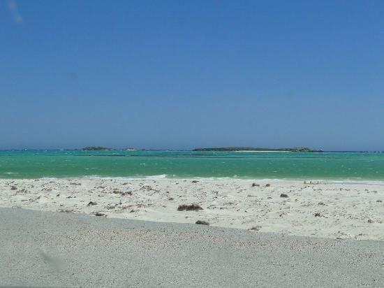
Tarcoola Beach is a narrow strip about 3.2 kilometres (2.0 mi) in length, and is located between Brand Highway and the Indian Ocean at the southern entrance to Geraldton.
Demographics
In the 2006 census, Tarcoola Beach had a population of 1,422.
Tarcoola Beach residents had a median age of 37, and the median individual income were above-average for the region — $656 per week compared with $461 per week. The population of Tarcoola Beach was predominantly Australian-born - 78.9% as at the 2006 census - while 6.39% were born in the United Kingdom. 6.57% reported one or more parents of Italian birth, while small numbers of Filipinos were also present.
The most popular religious affiliations in descending order in the 2001 census were Roman Catholic, Anglican, no religion and Uniting.
Facilities
Tarcoola Beach contains a number of accommodation options, including a caravan park and several motels and B&Bs. The suburb contains no schools or shopping facilities, relying in both cases on neighbouring Mount Tarcoola.