
Population 3,566 (2006 census) Area 2.8 km² Postal code 6530 | Postcode(s) 6530 Elevation 47 m | |
 | ||
LGA(s) | ||
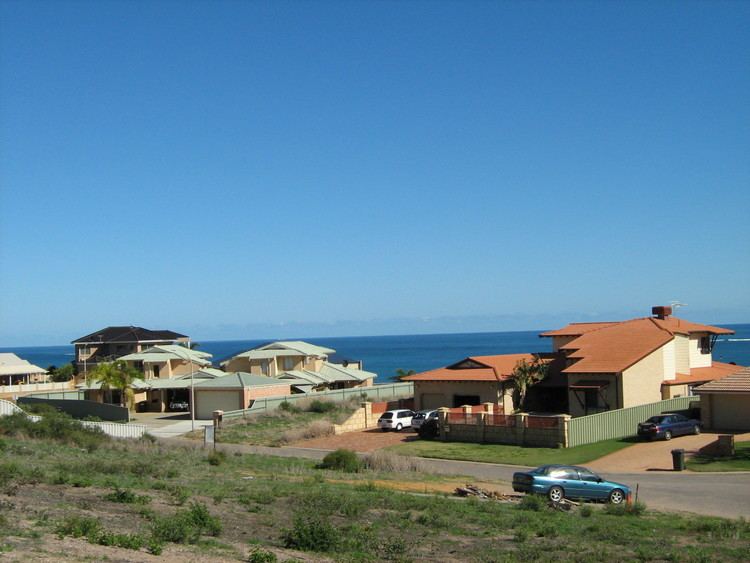
Mount Tarcoola is a southern suburb of Geraldton, Western Australia. Its local government area is the City of Greater Geraldton.
Contents
Map of Mount Tarcoola WA 6530, Australia
The northern part of the suburb was gazetted in 1972 by the Town of Geraldton, and the southern part was gazetted in 1979 by the Shire of Greenough.
Geography
Mount Tarcoola is 3.5 kilometres (2.2 mi) southeast of Geraldton's central business district. It is bounded on the north by North West Coastal Highway, on the west by Brand Highway, and on the south by Barrett Drive.
Demographics
In the 2006 census, Mount Tarcoola had a population of 3,566, representing a growth of 557 people (18.5%) since the 2001 census.
Mount Tarcoola residents had a median age of 34, and the median individual income was $570 per week, compared with $461 per week for the Geraldton region as a whole. The population of Mount Tarcoola was predominantly Australian-born - 82.2% as at the 2006 census - while 5.02% were born in the United Kingdom. A small Cocos Malay population was identified in the suburb, with 2.9% practising Islam and 2.2% speaking Malay at home.