
Founded 1892 Time zone UTC -3 Population 6,632 (2011) | Elevation 73 m (240 ft) Postal code 70002 Local time Sunday 8:01 PM | |
 | ||
Weather 23°C, Wind E at 10 km/h, 73% Humidity | ||
Tarariras, is a small city in the south of the Colonia Department of southern Uruguay.
Contents
- Map of Tarariras Colonia Department Uruguay
- Location
- Geography
- History
- Population
- Places of worship
- Government
- References
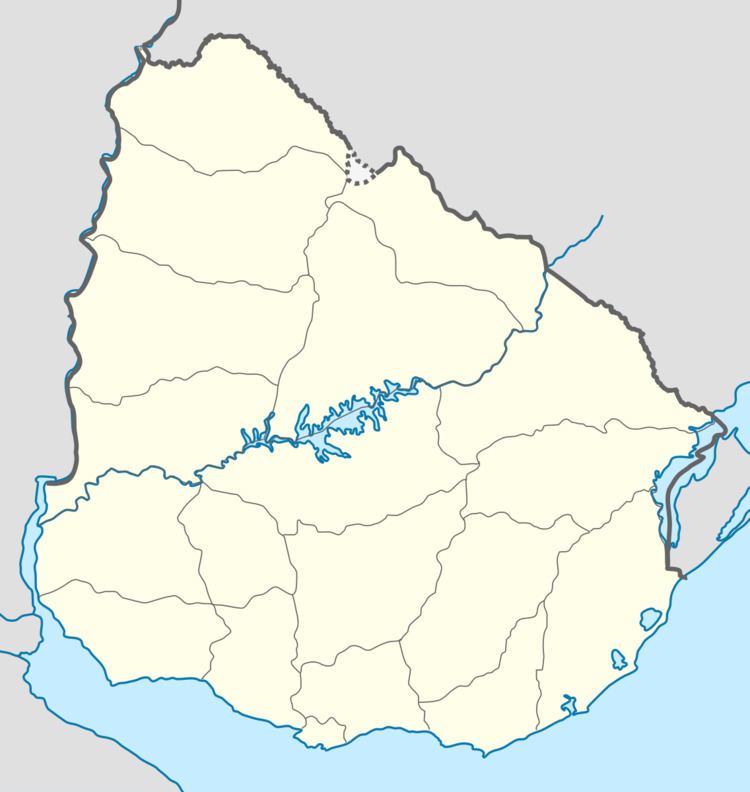
Map of Tarariras, Colonia Department, Uruguay
Location
The city is located on the junction of Route 50 with Route 22, about 15 kilometres (9.3 mi) north of the later's junction with Route 1, which is 28 kilometres (17 mi) east-northeast of Colonia del Sacramento, the capital city of the department.
Geography
The stream Arroyo Cuaró flows a small distance east of the town. The distance of the town from the centre of Montevideo is 164 kilometres (102 mi).
History
A populated centre was founded here in 1892, even though the origins date back to 1831 when José Rodríguez donated the lands of his property to Joaquín Viega. It received the name "Joaquín Suárez" and the status of "Pueblo" (village) by the Act of Ley N° 6.920 on 17 June 1919, and then on 27 August 1959 it was renamed to "Tarariras" and given the status of "Villa" (town) by the Act of Ley N° 12.621. Finally it received the status of "Ciudad" (city) by the Act of Ley N° 13.783 on 7 November 1969.
Population
In 2011 Tarariras had a population of 6,632.
Source: Instituto Nacional de Estadística de Uruguay
Places of worship
Government
The mayor (alcalde,-esa) of the town, as of July 2010, is Diana Olivera.