
Intercommunality Pays de Tarare Area 13.99 km² Number of airports 1 | Canton Tarare(chef-lieu) Population (2012) 10,401 Local time Monday 1:01 AM | |
 | ||
Weather 8°C, Wind W at 2 km/h, 70% Humidity | ||
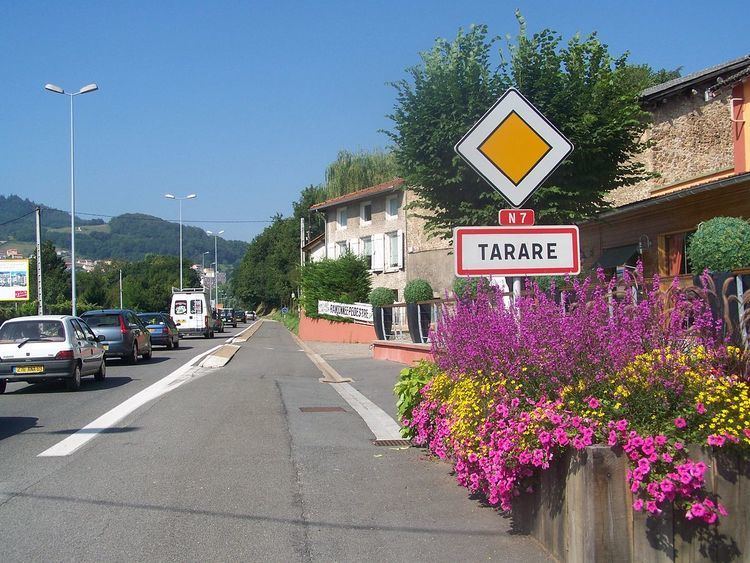
Tarare is a commune in the Rhône department in eastern France.
Contents
Map of 69170 Tarare, France
It lies on the Turdine river, 28 miles west-northwest of Lyon by rail.
History
Pop. (1906) 11,643.
Economy
According to the 1911 Encyclopædia Britannica Eleventh Edition:
"Tarare is the centre of a region engaged in the production of muslins, tarletans, embroidery and silk-plush, and in printing, bleaching and other subsidiary processes. Till 1756, when the manufacture of muslins was introduced from Switzerland, the town lay unknown among the Beaujolais mountains. The manufacture of Swiss cotton yarns and crochet embroideries was introduced at the end of the 18th century; at the beginning of the 19th figured stuffs, openworks and zephyrs were first produced. The manufacture of silk-plush for hats and machine-made velvets was set up towards the end of the 19th century. A busy trade is carried on in corn, cattle, linen, hemp, thread and leather."Nearby villages
References
Tarare Wikipedia(Text) CC BY-SA