
Time zone IST (UTC+5:30) Area 3.39 km² | Elevation 6 m (20 ft) PIN 741502 Area code 03473 | |
 | ||
Neighborhoods Purbapara, Jamtalapara, Taraknagar Purbapara, Chandupara, Bottalapara | ||
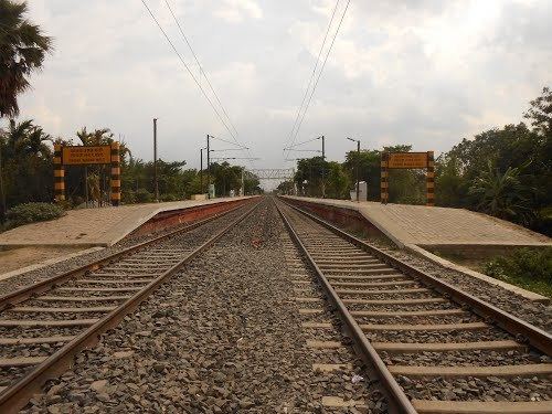
Taraknagar (তারকনগর) is a village of Nadia district, West Bengal, India situated 99 km north of Kolkata. Taraknagar is well connected with the state capital Kolkata via Kolkata Suburban Railway. Several local trains come from Sealdah everyday.
Contents
Map of Taraknagar, West Bengal
Location
Taraknagar is 99 km north of Kolkata (Calcutta) at 23.38°N 88.68°E / 23.38; 88.68. The village is located around less than 10 km from Bangladesh–India border.
Education
Literacy rate among the elderly people is quite low here. Although every young people are going school.Taraknagar has two high schools (Taraknagar Ma Maharani High School and Taraknagar Jamuna Sundari High School) three primary schools and one kindergarten. Both the high schools are currently providing Arts subjects after class 10th.
Politics
Taraknagar is under Krishnaganj (Vidhan Sabha constituency) and Ranaghat (Lok Sabha constituency).Taraknagar don't have a panchayat of its own. The village falls under Shibnivas gram panchayat. Currently All India Trinamool Congress is in power.
Administration
Krishnanagar is the district headquarter for Shibnivas Gram Panchayat. The Village is Under Krishnanagar Sadar subdivision of Nadia District.