
Elevation 769 m (2,523 ft) | Time zone BRT/BRST (UTC-3/-2) | |
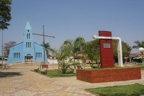 | ||
Taquaral de Goiás is a municipality in central Goiás state, Brazil.
Contents
- Map of Taquaral de GoiC3A1s State of GoiC3A1s Brazil
- Location
- Demographics
- The economy
- Health and education
- References
Map of Taquaral de Goi%C3%A1s - State of Goi%C3%A1s, Brazil
Location
Taquaral is located approximately 100 km northwest of regional center, Anápolis. It is 22 km west of Santa Rosa de Goiás and 25 km east of Itaberaí. Highway connections from Goiânia are made by state highway GO-070 from Goiânia north to Goianira, past Inhumas, and Itauçu and then GO-154 for 16 kilometers. Taquaral has become one of the most important clusters of lingerie in the State of Goiás. Every year thousand of people flock to the city to buy its production of fine lingerie in order ot sell it within Goiás, in other states, and even abroad. See Sepin for all the state connections.
Neighboring municipalities are Itaberaí, Itaguari, Santa Rosa de Goiás, and Itauçu
Demographics
The economy
The economy is based on subsistence agriculture, cattle raising, services, public administration, and small transformation industries. Formerly there were nickel and manganese mines in the area but these have run out. There are several small clothing industries in the town. In the economic sector there were 33 industrial units in 2007 and 29 retail commerce units. There were 288 automobiles registered in 2007.
The cattle herd had 25,700 head (5,700 milk cows) in 2006, while the main crops cultivated were pineapple, rice, bananas, coffee, beans, manioc, corn, tomatoes, and soybeans.
Agricultural data 2006
Health and education
In 2006 there were 2 schools with 968 students. The adult literacy rate was 84.6% (2000) (national average was 86.4%). In the health sector there were 2 small hospitals with 41 beds (2007). The infant mortality rate was 28.84 (2000) (national average was 33).
On the Municipal Human Development Index Taquaral de Goiás scored 0.726 (2000) giving it a state ranking of 158 (out of 242 municipalities) and a national ranking of 2,506 (out of 5,507 municipalities). For the complete list see frigoletto.com.br