
Country India Area 441.1 km² | Time zone IST (UTC+5:30) | |
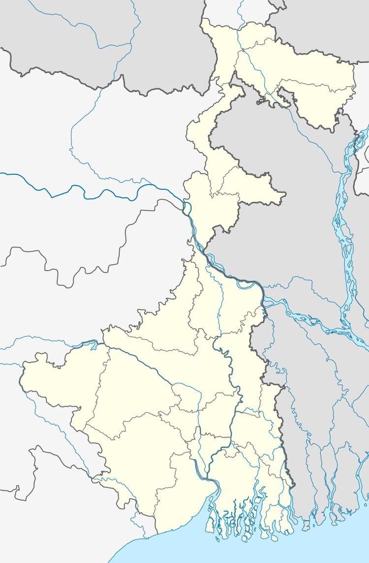 | ||
Tapan (community development block) is an administrative division in Balurghat subdivision of Dakshin Dinajpur district in the Indian state of West Bengal. Tapan police station serves this block. Headquarters of this block is at Tapan.
Contents
Map of Tapan, West Bengal 733127
Geography
Tapan is located at 25°17′19″N 88°34′35″E.
Tapan community development block has an area of 441.10 km2.
The Punarbhaba River flows through the Tapan block.
Gram panchayats
Gram panchayats of Tapan block/ panchayat samiti are: Ajmatpur, Autina, Dipkhanda, Gofanagar, Gurail, Harsura, Hazratpur, Malancha, Ramchandrapur, Ramparachechra and Tapanchandipur.
Demographics
As per 2011 Census of India Tapan CD Block had a total population of 250,540 all of which were rural. There were 128,500 males and 122,004 females. Scheduled Castes numbered 80,963 and Scheduled Tribes numbered 55,965.
Literacy
As per 2011 census the total number of literates in Tapan CD Block was 152,482 out of which 84,656 were males and 67,826 were females.