
OS grid reference NZ181551 Post town TANTOBIE Local time Sunday 5:38 PM | Sovereign state United Kingdom Postcode district DH9 Dialling code 1207 | |
 | ||
Weather 11°C, Wind E at 13 km/h, 62% Humidity | ||
Tantobie is a former colliery village in County Durham, in England. It is situated 3.6km to the northwest of Stanley and the same distance to the north of Annfield Plain. The etymology is doubtful: it looks as if it ends in Old Norse by "village", "farm", like Lockerbie and Formby, but the meaning is uncertain.
Contents
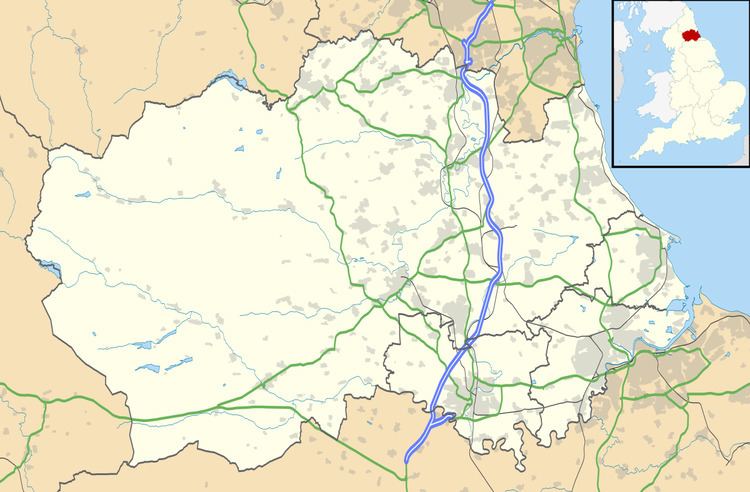
Map of Tantobie, UK
To the east is a small housing estate named 'Sleepy Valley', which is close to the village of Tanfield, Durham.
Notable people
See Category:People from TantobieReferences
Tantobie Wikipedia(Text) CC BY-SA