
Length 9 km | ||
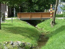 | ||
Tannbach is a brook that is around six kilometers long in north-east Bavaria and southern Thuringia, Germany.
Map of Tannbach, Germany
The source is located east of Gefell in the Saale-Orla-Kreis district, in Thuringia, Germany. Initially it flows south through Gebersreuth before reaching Mödlareuth. During the Cold War the little brook marked the border between West- and East Germany and divided the little village into two parts. After Mödlareuth it flows in south-westerly direction before it joins the also known as the Saale as right tributary.
References
Tannbach (Saale) Wikipedia(Text) CC BY-SA