
Country United States Time zone CST (UTC-6) Elevation 274 m Population 4,351 (2010) Area code 612 | ZIP code 55409, 55419 Area 178 ha | |
 | ||
Restaurants Wise Acre Eatery, Fresh Wok, Cafe Ena, Sun Street Breads, Xin Wong | ||
Tangletown minneapolis
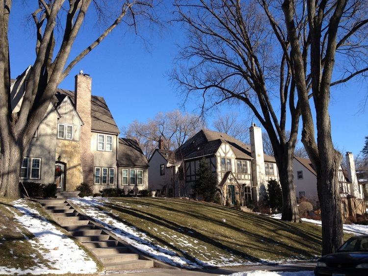
Tangletown is a neighborhood in the Southwest community of Minneapolis. The neighborhood was officially known as Fuller until 1996 when it was changed to the present name, which reflects the winding streets in the neighborhood that do not conform to the regular street grid of South Minneapolis. The neighborhood boundaries are 46th Street to the north, Interstate 35W to the east, Diamond Lake Road to the south, and Lyndale Avenue South to the west.
Contents
Map of Tangletown, Minneapolis, MN 55419, USA
The Washburn Park Water Tower is located at the highest point in the neighborhood, while Minnehaha Creek runs through the south side of the neighborhood. Washburn High School and Ramsey Middle School are located in this neighborhood.
Businesses
References
Tangletown, Minneapolis Wikipedia(Text) CC BY-SA