
- elevation 269 ft (82 m) Length 196 km | - elevation −3 ft (−1 m) | |
 | ||
Cities Amite City, Kentwood, Osyka | ||
Tangipahoa river la442 flood
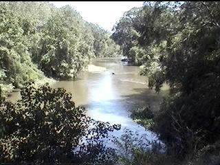
The Tangipahoa River (/tændʒᵻpəˈhoʊ.ə/ tan-ji-pə-HOH-ə) originates northwest of McComb in southwest Mississippi, and runs south 122 miles (196 km) through Lake Tangipahoa in Percy Quin State Park before passing into southeast Louisiana. There it flows entirely in the eponymous Tangipahoa Parish until its mouth opens into the northwest region of Lake Pontchartrain.
Contents
Map of Tangipahoa River, 9, LA, USA
Alternative/historical names and spellings:
References
Tangipahoa River Wikipedia(Text) CC BY-SA