
Local time Monday 2:06 AM | ||
 | ||
Weather 16°C, Wind NE at 11 km/h, 89% Humidity | ||
Tangimoana is a community in the Manawatu-Wanganui Region of the North Island of New Zealand. It had a population of 290 permanent residents in 2001. It is located 15 kilometres southwest of Bulls, and 30 kilometres west of Palmerston North.
Contents
Map of Tangimoana, New Zealand
The settlement lies on the southern bank of the Rangitikei River near the mouth. It was developed in the 1920s as a holiday place for people from Palmerston North and other inland towns. Tangimoana was among the most seriously affected communities in the 2004 flooding.
There is a small well resourced full primary school catering for students from Year 1 to Year 8. A bus service takes secondary school students into Palmerston North on week days. The Boating Club has a licensed facility for members and their guests. A small corner store is open daily, it sells basic supplies as well as takeaway food.
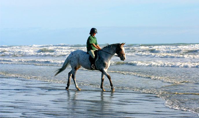
Tangimoana has limited facilities and very few employment opportunities. Most residents travel to Palmerston North, Feilding or Levin for employment. The main attraction is the river and beach which are both peaceful and natural. It is a popular beach for horses and dogs. A four-wheel drive vehicle is needed to drive directly to the ocean.
SIGINT facility
The New Zealand Government Communications Security Bureau operates what it describes as a radio communications intereception facility in the area; it is generally believed to be a signals intelligence, or SIGINT facility operating under umbrella of the ECHELON espionage network, under the auspices the UKUSA consortium of intelligent agencies.