
Country United States GNIS feature ID 444565 Zip code 47952 | State Indiana Elevation 192 m Local time Sunday 9:05 AM | |
 | ||
Weather 14°C, Wind S at 14 km/h, 94% Humidity | ||
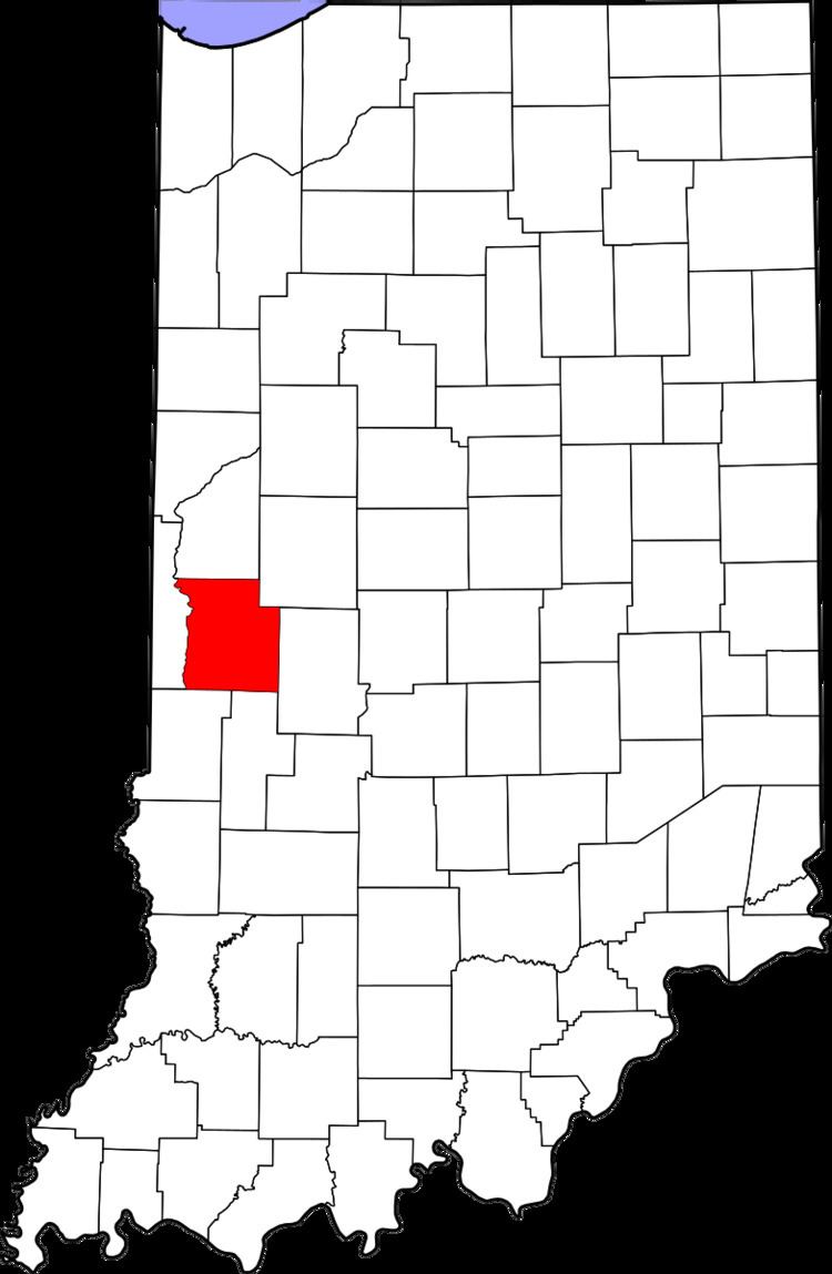
Tangier (also called Long Siding or Woodys Corner) is an unincorporated community in Liberty Township, Parke County, Indiana, United States.
Contents
Map of Tangier, IN 47952, USA
History
Tangier was platted in 1886. The community was named after Tangier, in Morocco. A post office was established at Tangier in 1886, and remained in operation until 1994.
Geography
Tangier is located at 39°55′09″N 87°19′05″W at an elevation of 630 feet.
References
Tangier, Indiana Wikipedia(Text) CC BY-SA