
Country United States GNIS feature ID 0453558 Area 101.8 km² Population 739 (2010) | ZIP codes 47832, 47862, 47952 Elevation 189 m Local time Thursday 10:38 PM | |
 | ||
Weather 2°C, Wind SE at 10 km/h, 56% Humidity | ||
Liberty Township is one of thirteen townships in Parke County, Indiana, United States. As of the 2010 census, its population was 739 and it contained 324 housing units.
Contents
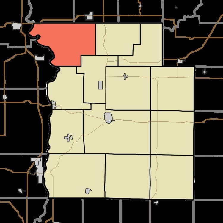
- Map of Liberty Township IN USA
- History
- Geography
- Unincorporated towns
- Cemeteries
- School districts
- Political districts
- References
Map of Liberty Township, IN, USA
History
The W.H. York Round Barn, Bowsher Ford Covered Bridge, Marshall Covered Bridge, Mill Creek Covered Bridge, and Rush Creek Covered Bridge are listed on the National Register of Historic Places.
Geography
According to the 2010 census, the township has a total area of 39.29 square miles (101.8 km2), of which 38.92 square miles (100.8 km2) (or 99.06%) is land and 0.37 square miles (0.96 km2) (or 0.94%) is water.
Unincorporated towns
(This list is based on USGS data and may include former settlements.)
Cemeteries
The township contains these seven cemeteries: Brockway, Ephlin, Harvey, Miller, Rush Creek, Russell and Shirk.
School districts
Political districts
References
Liberty Township, Parke County, Indiana Wikipedia(Text) CC BY-SA