
Prominence 472 m | Elevation 472 m | |
 | ||
Similar Ambitle, Blup Blup, Long Island, Ritter Island, Simberi Island | ||
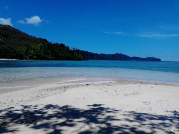
The Tanga Islands are an island group in Papua New Guinea, located north-east of New Ireland and part of the Bismarck Archipelago. The islands are the remnants of a stratovolcano which collapsed to form a caldera. Lif (283 m), Tefa (155 m), and Malendok (472 m) islands are on the caldera rim, while Bitlik and Bitbok islands are lava domes constructed near the center of the caldera.
Map of Tanga Islands, Papua New Guinea
Former Prime Minister of Papua New Guinea Sir Julius Chan is a native of the Tanga Islands.
References
Tanga Islands Wikipedia(Text) CC BY-SA