Prominence 450 m (1,480 ft) Last eruption 350 BCE ± 100 years | Elevation 450 m | |
 | ||
Similar Tanga Islands, Blup Blup, Simberi Island, Long Island, Ritter Island | ||
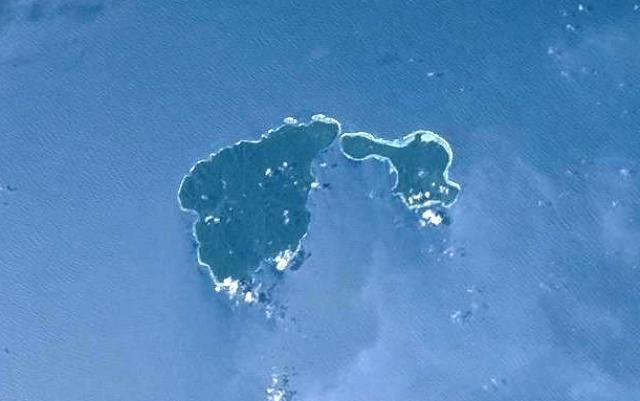
Ambitle is a volcanic island which, together with Babase, another volcanic island, is one of the two Feni Islands in the Bismarck Archipelago. The island is located within the Papua New Guinea's New Ireland Province, to the east of the island of New Ireland.
Map of Ambitle Island, Papua New Guinea
Ambitle is a stratovolcano, reaching 450 meters (1,476 feet) above sea level. It last erupted in about 350 BCE based on radiocarbon dating. Its caldera, 3 km or about 2 miles wide, contains thermal areas on its western side. Venting of hydrothermal water also occurs in coral reefs to the west of this island.
References
Ambitle Wikipedia(Text) CC BY-SA
