
Elevation 10 m (30 ft) Postal code 92560 Local time Saturday 11:50 PM | Time zone CST (UTC-6) Area 985.4 km² Area code 768 | |
 | ||
Weather 23°C, Wind S at 10 km/h, 82% Humidity | ||
Tamiahua is a municipality located in the north zone in the State of Veracruz. It has a surface of 985.4 km2. It is located at 21°17′N 97°27′W. The name comes from the Náhuatl language Tla-mia-hua-c: "In the flowers of maize of the land"; in Huasteco, Tam-yan-ja: "Place of great waters".
Contents
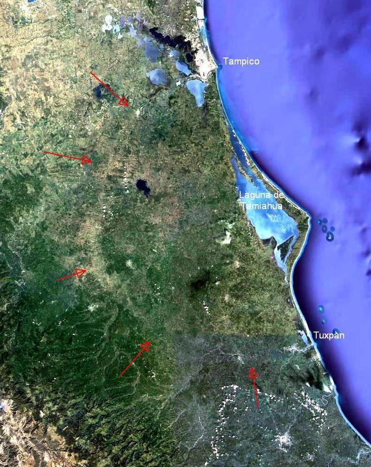
Map of Tamiahua, Ver., Mexico
Geographic Limits
The municipality of Tamiahua is delimited to the north by Ozuluama and Tampico Alto, to the east by Gulf of Mexico, to the south by Temapache and Tuxpam de Rodríguez Cano, and to the west by Tamalín, Chinampa de Gorostiza, Naranjos Amatlán, Tancoco and Cerro Azul. Its development has allowed the creation of two wharves and two piers, and the municipality has established industries between two medians emphasizing the production of oysters.
Agriculture & Fishing
The town produces principally maize, beans, green chile and orange fruit. Along the coastline fresh seafood, including shrimp, crabs, and oysters, is harvested and attracts tourism to the area.
Celebrations
In July, Tamiahua holds celebrations in honor of Santiago Apostol, patron of the town, and in December there is a celebration in honor of the Virgin of Guadalupe.
Weather
The weather in Tamiahua is very warm and wet all year with rains in summer and autumn.