
Time zone CST (UTC-6) | Area 417.9 km² | |
 | ||
Website | ||
El querreque huapangueada tamal n 2008
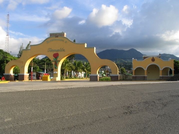
Tamalín is a municipality located in the north zone in the State of Veracruz. It has a surface of 417.85 km2. It is located at 21°20′N 97°49′W. By Decree of November 13, 1875 there was raised in municipality Tamalín's congregation that concerned to Tantima's municipality.
Contents
- El querreque huapangueada tamal n 2008
- 12 huapangueada tamal n 2015 tr o halcon huasteco
- Geographic Limits
- Agriculture
- Celebrations
- Weather
- References
12 huapangueada tamal n 2015 tr o halcon huasteco
Geographic Limits
The municipality of Tamalín is delimited to the north and north-west by Ozuluama, to the east by Tamiahua, to the south by Tancoco, Naranjos Amatlán and Chinampa de Gorostiza. It is watered by small rivers that are tributaries of Tamiahua's Lagoon, relies on some creeks or Lagoons, as Cuchapas's tideland and Dos Bocas.
Agriculture
It produces principally maize, beans, watermelon and orange fruit
Celebrations
In Tamalín , in July takes place the celebration in honor to Virgen de Guadalupe, Patron of the town.
Weather
The weather in Tamalín is very warm and wet all year with rains in summer and autumn.