Population 0 | ||
 | ||
Tambra Island (Bulgarian: остров Тъмбра, ‘Ostrov Tambra’ \'os-trov 't&m-bra) is a mostly ice-covered island in the Pitt group of Biscoe Islands, Antarctica. The feature is 1.17 km long in southwest-northeast direction and 700 m wide, and is separated from the adjacent Jingle Island to the northeast by a 60 m wide passage.
Contents
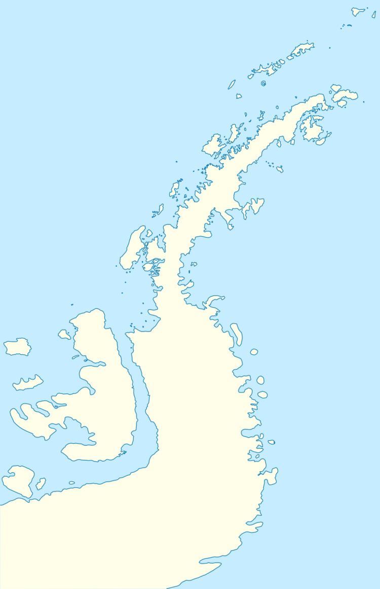
Map of Tambra Island, Antarctica
The island is named after Tambra Hill in Southern Bulgaria.
Location
Tambra Island is located at 65°26′05″S 65°21′00″W, 700 m northeast of Weller Island and 730 m east-southeast of Krivus Island. British mapping in 1971.
Maps
References
Tambra Island Wikipedia(Text) CC BY-SA
