
Department Cesar Founded by Lorenzo Martín Area 511.3 km² Local time Saturday 10:14 PM | Region Caribbean Founded 29 September 1544 Highest elevation 150 m (490 ft) Population 13,862 (2015) | |
 | ||
Weather 22°C, Wind NW at 3 km/h, 90% Humidity | ||
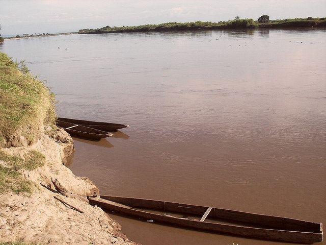
Tamalameque is a town and municipality in the Colombian Department of Cesar. It was originally the site of a Chimila settlement, Thamara. Tamalameque is located on the right bank of the Magdalena River and borders Chimichagua and Pailitas in the north, Pelaya in the east, La Gloria in the south and in the west the departments of Bolívar (El Peñón) and Magdalena (El Banco).
Contents
Map of Tamalameque, Cesar, Colombia
History
Tamalameque was first visited by the Bavarian conquistador Ambrosius Ehinger in 1531. The first conquest expedition into the interior of Colombia, led by Gonzalo Jiménez de Quesada passed through Tamalameque in 1536. The local Chimila resisted heavily against the conquistadors.
Modern Tamalameque was founded on September 29, 1544 by Lorenzo Martín.
Economy
Tamalameque, situated in an area dotted with wetlands and swamps at the Magdalena River, has an economy based on fishing, agriculture and livestock farming. Main agricultural products cultivated are rice and sorghum, and farther from the river bananas and yuca.