
 | ||
Canoing taltson river and nonacho lake 2014
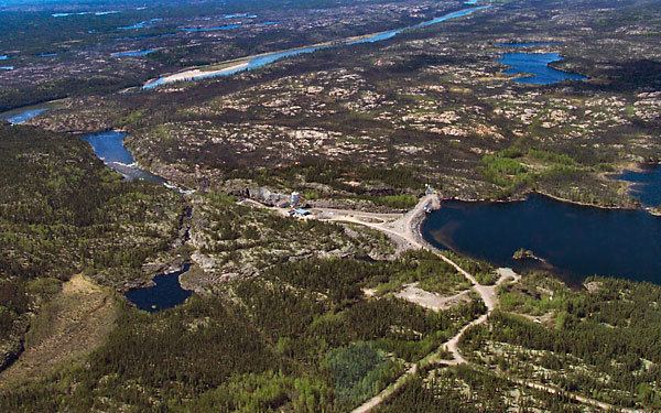
The Taltson River is a roughly 500 kilometres (310 mi) river in the Northwest Territories of Canada. It flows into the Great Slave Lake and ultimately reaches the Beaufort Sea through the Mackenzie River. Eight reservoirs, Nonacho, Taltson, King, Lady Grey, Benna Thy, Kozo, Twin Gorges, and Tsu, impound the river to generate hydroelectric power. The average flow from 1960 to 1995, measured at a gauge at Tsu Lake Dam, was about 200 cubic metres per second (7,100 cu ft/s). The drainage area above the dam is about 58,700 km2 (22,700 sq mi).
Contents
- Canoing taltson river and nonacho lake 2014
- Map of Taltson River Fort Smith Unorganized NT Canada
- Flying taltson river
- History
- References
Map of Taltson River, Fort Smith, Unorganized, NT, Canada
Flying taltson river
History
The river was formerly known as the Copper Indian River in reference to the Dene known as the Yellowknives or Copper Indians. The name is derived from Tatsan which means "scum of water" and is an expression for copper.