
Country Canada Time zone MST (UTC-7) Area 37.65 km² Population 1,029 (2016) Number of airports 1 | Canadian Postal code X0B 1B0 Elevation 28 m Local time Saturday 7:59 PM | |
 | ||
Weather -23°C, Wind SE at 16 km/h, 77% Humidity | ||
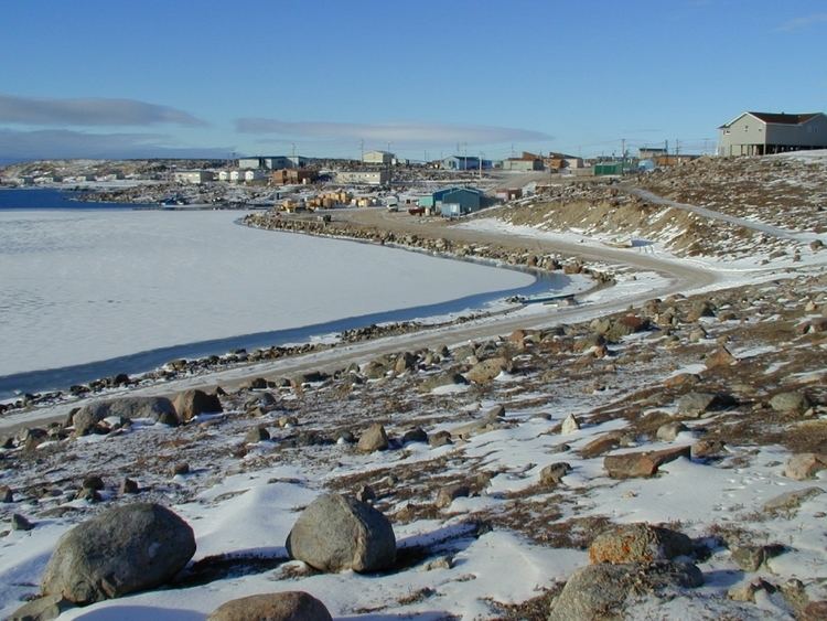
Taloyoak or Talurjuaq (Inuktitut syllabics: ᑕᓗᕐᔪᐊᖅ [taloʁjuˈaq]), formerly known as Spence Bay until 1 July 1992; (2016 population 1,029) is located on the Boothia Peninsula, Kitikmeot, in Canada's Nunavut Territory. The community is served only by air and by annual supply sealift. Taloyoak may mean "large blind", referring to a stone caribou blind or a screen used for caribou hunting. The community is situated 460 km (290 mi) east of the regional centre of Cambridge Bay, 1,224 km (761 mi) northeast of Yellowknife, Northwest Territories.
Contents
Map of Taloyoak, NU, Canada
Demographics
As of the 2016 census the population was 1,029 an increase of 14.5% from the 2011 census.
Languages spoken are English and Inuktitut.
Surrounding area
Taloyoak is surrounded by tundra and the ground is black/gray. Although, to the north there is an impressive rock formation that looks similar to Ayers Rock.