
Postcode(s) 2852 Local time Sunday 12:00 PM | Postal code 2852 | |
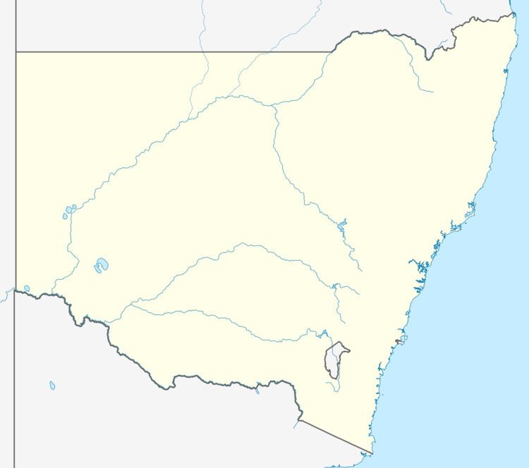 | ||
Location 323 km (201 mi) NW of Sydney125 km (78 mi) E of Dubbo27 km (17 mi) N of Gulgong15 km (9 mi) S of Birriwa Weather 27°C, Wind N at 8 km/h, 65% Humidity | ||
Tallawang is an historical locality north of Gulgong in central western New South Wales, Australia. The place name is derived from an aboriginal word for "apple gum".
Map of Tallawang NSW 2852, Australia
The Tallawang area (originally often spelled Tallewang) was originally settled by Aboriginal people. In the 1830s the area was settled by Europeans, originally raising sheep. The Tallawang area is in the valley of Tallawang Creek, which flows south into Wyaldra Creek and then subsequently to the Cudgegong River west of Gulgong.
There was an inn at Tallawang on the track and stock route which is now the Castlereagh Highway. In the 1860s gold was discovered at Tallawang and it became the site of a minor gold rush, overshadowed by the much larger discoveries of gold at Gulgong to the south of Tallawang.
In the late 19th century, many small farms at Tallawang were owned by retired gold miners, and Tallawang had an inn, school, church and stores. A railway station opened when the railway line was built from Gulgong to Dunedoo in 1909, and was closed in 1974.
In the 1980s an iron ore mine operated at Tallawang, which was apparently the only iron ore mine in New South Wales in recent times.
Today nothing remains of Tallawang.
From 1906, Tallawang was part of the Wyaldra Shire, then the Gulgong Shire, and now is part of the Mid-Western Regional Council area, based at Mudgee.