
Postcode(s) 2844 Postal code 2844 | Local time Friday 4:04 AM | |
 | ||
Location 329 km (204 mi) NW of Sydney109 km (68 mi) E of Dubbo32 km (20 mi) N of Gulgong19 km (12 mi) S of Dunedoo Weather 19°C, Wind E at 14 km/h, 85% Humidity | ||
Birriwa is a locality in central New South Wales, Australia.
Map of Birriwa NSW 2844, Australia
Birriwa is located on the Castlereagh Highway in the central west of New South Wales between Gulgong and Dunedoo.
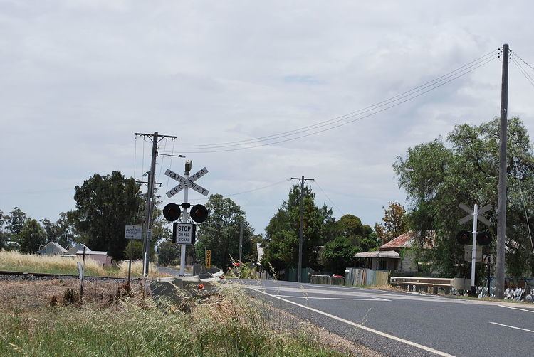
The Gwabegar railway line came to Birriwa and a station was opened there in 1909. There is no longer a passenger service, but a large grain silo remains in operation where the railway line crosses the Castlereagh Highway at a level crossing.
The Chinese bushranger Sam Poo shot and killed policeman John Ward at Birriwa in 1865.
References
Birriwa, New South Wales Wikipedia(Text) CC BY-SA