
Time zone East (UTC+6) Founded 1969 Population 184,834 (2013) | Area 3,700 km² Administrative center Talgar | |
 | ||
Points of interest Shymbulak, Tabagan, Ile‑Alatau National Park, Shymbulak Ski Resort (Base Sta, Tamgaly‑Tas | ||
Talgar District (Kazakh: Талғар ауданы) is a district of Almaty Region in Kazakhstan. The administrative center of the district is the town of Talgar. It consists of an alluvial apron formed by the Talgar River, extending northwards from the glacier peaks of the Trans-Ili Alatau (topped by Talgar Peak, 4,973 m), an extension of the northern flanks of the Tien Shan Mountains. Population: 184,834 (2013 estimate); 170,221 (2009 Census results); 132,692 (1999 Census results).
Contents
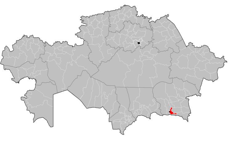
Map of Talgar District, Kazakhstan
List of settlements
References
Talgar District Wikipedia(Text) CC BY-SA