
Length 72 km | Source Beluga Mountain | |
 | ||
Main source 2,350 ft (720 m)Beluga Mountain River mouth 259 ft (79 m)Skwentna River | ||
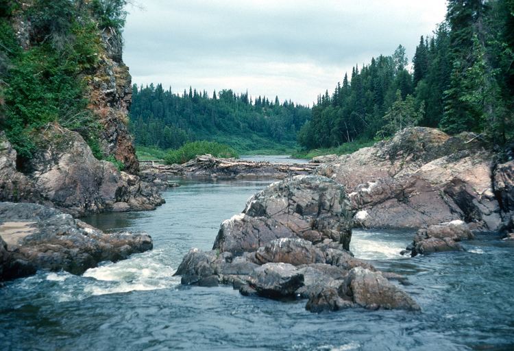
The Talachulitna River is a river in Alaska.
Contents
Map of Talachulitna River, Skwentna, AK, USA
There are also:
History
Tanaina Indian name spelled "Tu-lu-shu-lit-na" by Lt. J. S. Herron, USA, in 1899.
Watershed
Heads on Beluga Mountain, flows South and North-West 45 miles (72 km) to Skwentna River, 56 miles (90 km) North-West of Tyonek, Alaska.
This river begins at Judd Lake. It is inaccessible by road. And, it has its own support group.
The Talachulitna is popular for fly-in rafting and fishing trips. There are special restrictions on fishing: rainbow trout & steelhead are "catch & release" only and only single-hook lures can be used.
More information is available from a log of a 1976 river resource study for the Alaska State Division of Lands.
Tributaries
References
Talachulitna River Wikipedia(Text) CC BY-SA