
Country India District Bilaspur Vehicle registration CG Population 16,989 (2001) | Time zone IST (UTC+5:30) Elevation 269 m Local time Saturday 10:35 PM | |
 | ||
Founded by Takhat Singh of Kalchuri Dynasty Weather 29°C, Wind N at 8 km/h, 24% Humidity | ||
Art of living bhajan sandhya program in takhatpur chhattisgarh
Takhatpur is a town and a nagar panchayat in Bilaspur district in the Indian state of Chhattisgarh.
Contents
- Art of living bhajan sandhya program in takhatpur chhattisgarh
- Map of Takhatpur Chhattisgarh 495330
- Geography
- Demographics
- References
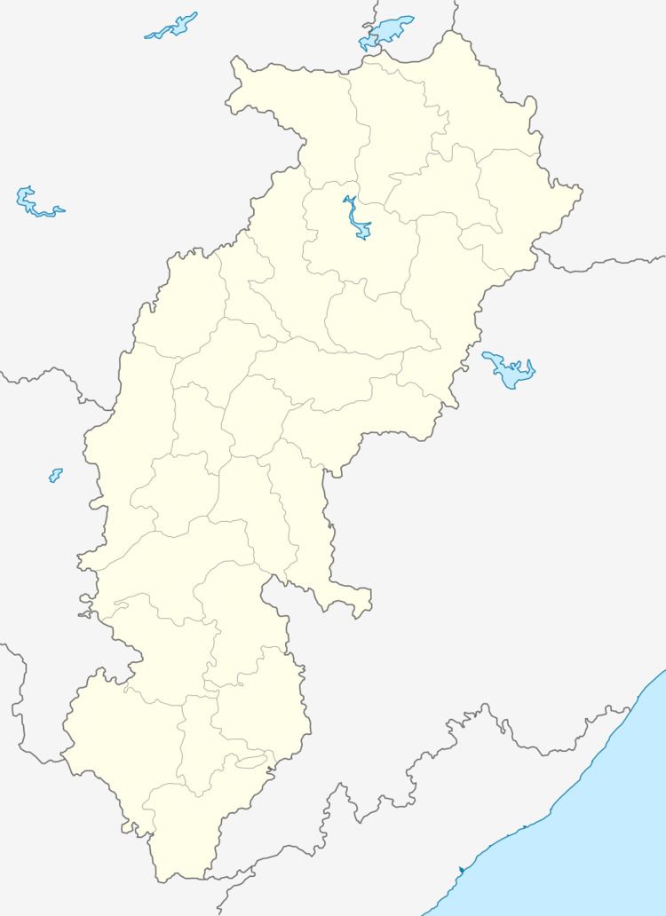
Map of Takhatpur, Chhattisgarh 495330
Geography
Takhatpur is located at 22.15°N 81.87°E / 22.15; 81.87. It has an average elevation of 269 metres (882 feet).
one govt. polytechnics and govt. ITI Technical Educational. Takhatpur is a Nagar Palika however as per the population, it is still classified as nagar panchayat. This is a very good place for businesses, especially, if the business is rice mills, travel agencies, etc. Although the yearly flow of fresh vegetables in the market is the best part,
Mr. Raju Singh Kshatriya MLA of Takhatpur Late Shri Manharanlal Pandey also elected from takhatpur as MLA,Mr. Jagjit Singh Makkad( Ex MLA ), Mr P.C.A Julius Mr. Kuddus Ansari, Mr. Ajay , Dewangan(President,Nagar Panchayat) are prominent residents of Takhatpur and have contributed to the area's educational and medical welfare. Mr Vivek Pandey is a prominent leader and advocate who is working towards the social welfare of the local communities.
Demographics
As of 2001 Indian census, Takhatpur had a population of 16,989. Males constitute 51% of the population and females 49%. Takhatpur has an average literacy rate of 68%, higher than the national average of 59.5%: male literacy is 76%, and female literacy is 59%. In Takhatpur, 14% of the population is under 6 years of age.