
- left Ungría Length 225 km Basin area 2,608 km² | - right Matayeguas - elevation 1,244 m (4,081 ft) - elevation 509 m (1,670 ft) Discharge 1.87 m³/s | |
 | ||
The Tajuña (from the Latin Tagonius) is a river in central Spain, flowing through the provinces of Guadalajara and Madrid. It is a tributary of the river Jarama which in turn is a tributary of the Tagus. It rises in the Sierra de Solorio, near the town of Maranchón (Guadalajara), at a location known as Fuente del Carro near the village of Clares.
Contents
Map of Taju%C3%B1a, Spain
CourseEdit
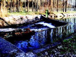
Near its source it flows through a landscape of high altitude moorlands, through deep valleys of Miocene era limestone, characterised by clays, marls and dolomitic limestone. It has one reservoir, La Tajera, with an extension of 409 ha near Cifuentes. It crosses the villages of Luzón, Anguita, Luzaga, Cortes de Tajuña, Brihuega and Renera in Guadalajara province and enters Madrid province at Ambite; it then passes close to Orusco, Carabaña, Tielmes, Perales de Tajuña and Morata de Tajuña, before joining the Jarama near Titulcia.
ClimateEdit
The climate in the river basin is Mediterranean, getting more arid closer to the Jarama. Rainfall is more frequent in autumn and winter.
MorphologyEdit
Being an internal river, its tributaries in the province of Guadalajara are seasonal streams which only contain water in spring. The Tajuña gets its water from springs and from the Calizas del Páramo de la Alcarria aquifer which covers 1,800 km² at a depth of 30–40 m.