
Comarca Comarca de Las Vegas Province code 28 Elevation 595 m Population 2,945 (2014) Local time Monday 2:52 AM | Autonomous Community Madrid Demonym(s) Peraleño,-a Distance from Madrid 38 km (24 mi) Area 48.92 km² | |
 | ||
Weather 11°C, Wind S at 23 km/h, 73% Humidity | ||
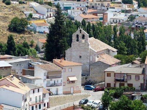
Perales de Tajuña is a small town in Spain, in the province and autonomous community of Madrid, located about 40 km to the southeast of Madrid in the area known as the Comarca de Las Vegas. The municipality covers 48.92 km², has a population of 2,738 inhabitants and a population density of 55.97 hab/km². To the north it borders with Arganda del Rey and Campo Real, to the east with Tielmes, to the south with Villarejo de Salvanés, and to the west with Morata de Tajuña and Valdelaguna.
Contents
- Map of 28540 Perales de TajuC3B1a Madrid Spain
- Perales de taju a madrid
- Education
- Religious
- Historical
- Nature
- Fountains
- Festivities
- Communications
- References
Map of 28540 Perales de Taju%C3%B1a, Madrid, Spain
Perales de taju a madrid
Education
In Perales de Tajuña there is one (1) public nursery school and one (1) infant and primary school, also public.
Religious
Historical
Nature
Fountains
Festivities
Communications
Perales de Tajuña is well connected by road to Madrid and all the surrounding towns.
References
Perales de Tajuña Wikipedia(Text) CC BY-SA