
Gaelic name Taghaigh OS grid reference NF965755 Highest elevation 65m (215 ft) | Norse name Tagg-øy Area rank 196= Council area Outer Hebrides | |
 | ||
Meaning of name island with a prominent hill Island groups British Isles, Outer Hebrides | ||
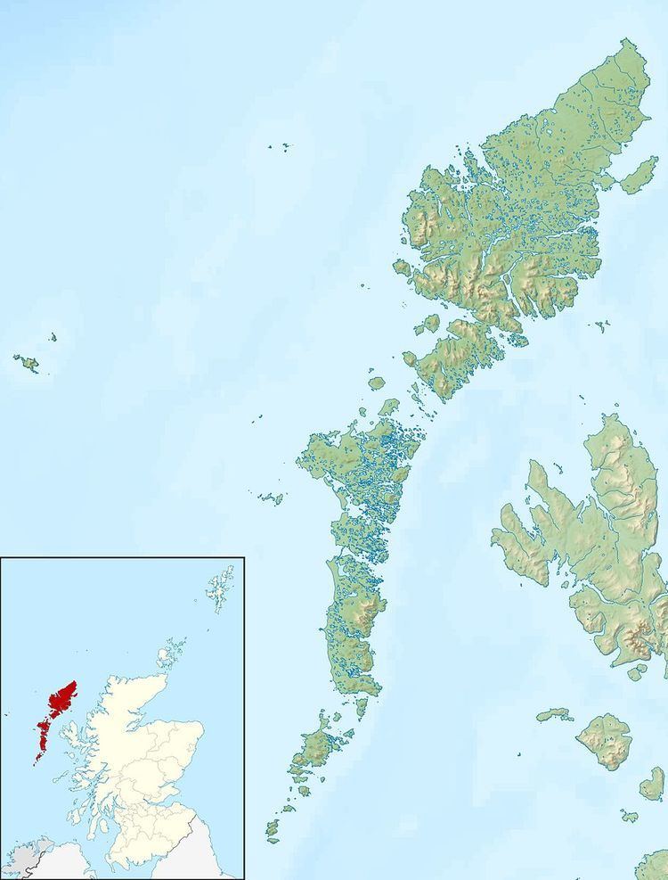
Tahay (Scottish Gaelic: Taghaigh) is an island in the Outer Hebrides of Scotland. The name originates from the Old Norse tagg-øy meaning island with a prominent hill. At 53 ha in area and with a central peak of 65 metres, it is the largest of the group of uninhabited islands off the north east coast of North Uist.
Contents
Map of Tahay, United Kingdom
The island is used for sheep grazing and peat cutting.
History
In 1846, six families who had been evicted from their homes on Pabbay to make way for sheep, moved to the previously uninhabited island of Tahay. Although the island has no arable land, they hoped to make a living from fishing. However this proved too hard and they gave up the struggle in the 1850s and emigrated to Australia.
Tahay is owned by the Scottish Government.
References
Tahay Wikipedia(Text) CC BY-SA