
Length 48 km (29.8 mi) Area 522.5 km² | Width 15.2 km (9.44 mi) Administrative subdivision Tuamotus Island group Tuamotus | |
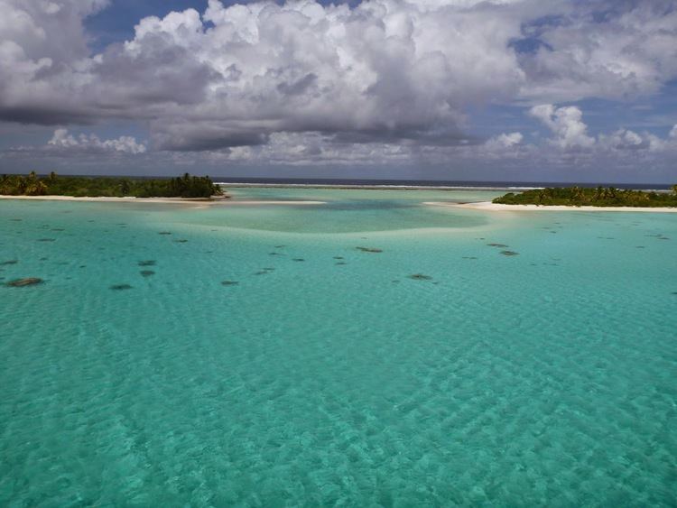 | ||
Private cruise tahiti my concierge tahanea
Tahanea Atoll is an atoll of the Tuamotu Archipelago in French Polynesia. It is located 12 kilometres (7.5 miles) to the east of Faaite Atoll.
Contents
- Private cruise tahiti my concierge tahanea
- Map of Tahanea French Polynesia
- Sharks in tahanea tuamotus
- History
- Administration
- References
Map of Tahanea, French Polynesia
Tahanea Atoll measures 48 kilometres (30 mi) in length with a maximum width of 15.2 kilometres (9.4 miles). The southern reef fringing the atoll is wider than the northern one, but the largest islands are on the narrower northern rim. Tahanea has a wide and deep lagoon with a surface of 545 square kilometres (210 square miles) . There are three deep, navigable, passes into the lagoon, which are called Motupuapua, Teavatapu and Otao.
Tahanea is uninhabited, but visited occasionally by islanders from neighbouring atolls.
Sharks in tahanea tuamotus
History
The first recorded European to sight Tahanea was Spanish navigator Domingo de Boenechea on 9 November 1774 on ship Aguila. He named this atoll "San Julián".
Russian oceanic explorer Fabian Gottlieb von Bellingshausen visited Tahanea in 1820 on ships Vostok and Mirni. He named this atoll "Chichagov" .
Administration
Tahanea belongs to the commune of Anaa that also includes the associated commune of Faaite with the atoll of Faaite and the uninhabited atolls of Tahanea and Motutunga.