
 | ||
Adjacent bodies of water | ||
Kuyasky tagubanhan island
Tagubanhan Island is a wooded island in northeastern Iloilo, Philippines. It is part of the municipality of Concepcion.
Contents
- Kuyasky tagubanhan island
- Map of Tagubanhan Island Ajuy Iloilo Philippines
- Location and geography
- References
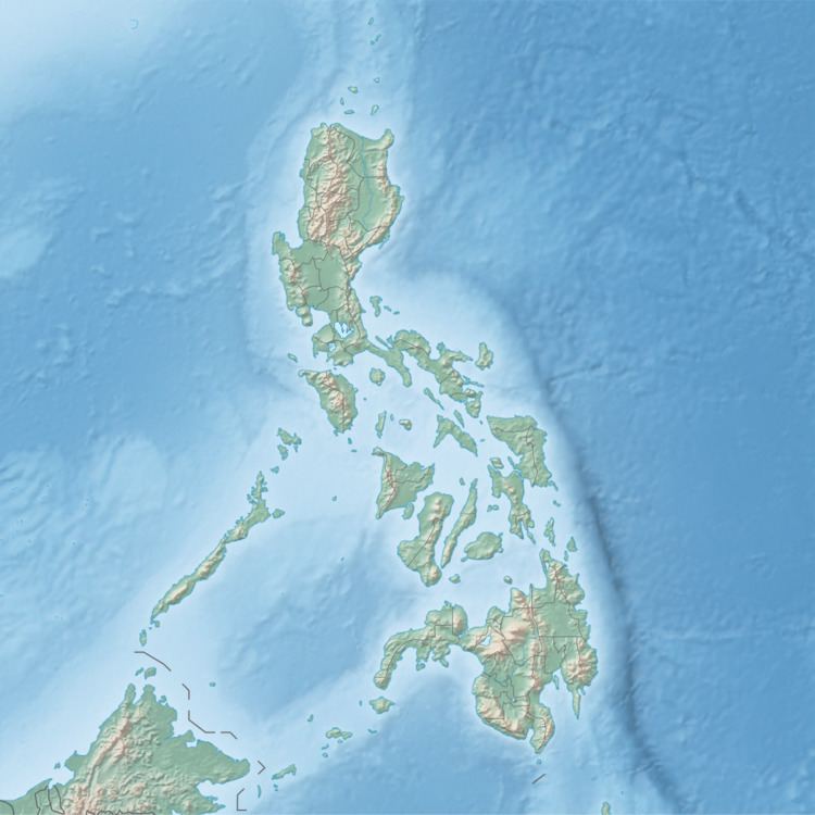
Map of Tagubanhan Island, Ajuy, Iloilo, Philippines
Location and geography
Tagubanhan Island is 1.6 kilometres (1 mi) southeast of Panay Island in the Visayan Sea. Part of the Concepcion Islands, Tagubanhan is southwest of Igbon Island and northwest of Anauayan Island. Tagubanhan is separated from Panay by a deep channel and is 980 feet (300 m) at its highest point. To the northwest of Tagubanhan is Mount Apiton, and the channel between Tagubanhan and Panay is known as the Apiton Pass.
References
Tagubanhan Island Wikipedia(Text) CC BY-SA