
Highest elevation 170 m (560 ft) Elevation 170 m | ||
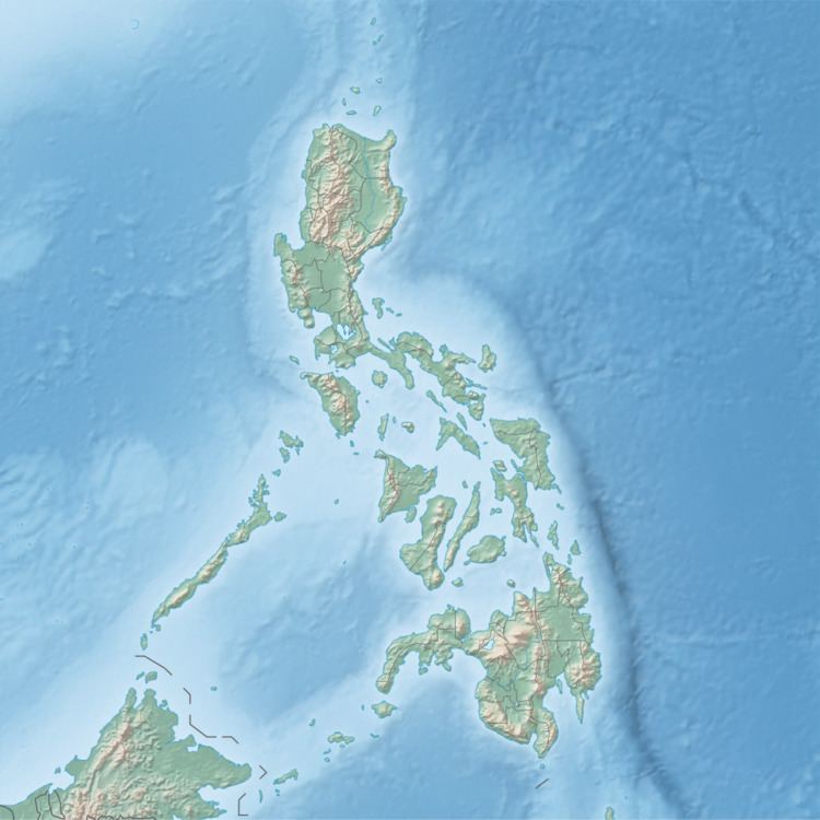 | ||
Tago Island is an island in northeastern Iloilo, Philippines. It is part of the municipality of Concepcion.
Contents
Map of Tago Island, Concepcion, Philippines
Location and geography
Tago Island is east of Panay Island in the Visayan Sea. Part of the Concepcion Islands, Tago is 3.2 kilometres (2 mi) west of Igbon Island and southwest of Pan de Azucar Island. Tago and Pan de Azucar are separated by the impassable Pan Pass. Tago is 170 metres (560 ft) at its highest point.
References
Tago Island Wikipedia(Text) CC BY-SA