
 | ||
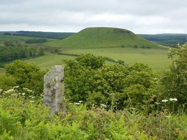
The Tabular Hills are an east-west line of distinct hills on the southern boundary of the North York Moors, running from Scarborough in the east all the way to Black Hambleton in the west. The name refers to their flat tabular shaped summits composed of hard Corallian limestone known locally as "nabs". They form the northern boundary of the Vale of Pickering.
Contents
Description
Steep sided river valleys break through the Tabular Hills to form a broken series of tablet shaped hills. The hills most distinctive feature is their northern escarpment, which rises to 200 ft (61 m) above the moorland to the north. At their western end, beyond the River Rye, the hills join with the north south Hambleton Hills which have a similar geological basis.
Striking among the river valleys are Newton Dale and Forge Valley which are glacial run-off channels formed when huge amounts of melt water denied an exit to the North Sea by glacial ice poured over the lowest points in the landscape during the last ice age cutting steeply incised channels. The Hole of Horcum is an unusual scallop shaped valley formed by the action of a line of springs.
Tabular Hills walk
The Tabular Hills walk links the two southerly ends of the Cleveland Way National Trail, enabling walkers to walk the complete perimeter of The North York Moors National Park. The walk runs from Helmsley in the west to Scalby Mills on the North Sea coast. The route measures 48 mi (77 km) and wanders through sparsely settled countryside between Scalby and Levisham, then includes the villages of Newton-on-Rawcliffe, Cropton, Appleton-le-Moors, Hutton-le-Hole, Gillamoor, Fadmoor and Carlton.