
Population (1999) 7,237 Local time Monday 10:36 PM | Canton Dunkerque-Est Area 18.41 km² Arrondissement Dunkirk | |
 | ||
Intercommunality Dunkerque grand littoral Weather 9°C, Wind NE at 6 km/h, 80% Humidity | ||
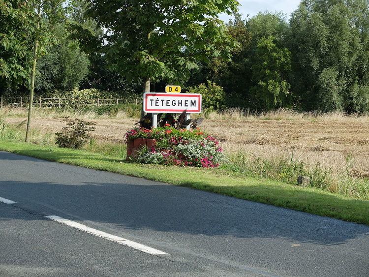
Téteghem is a former commune in the Nord department in northern France. On 1 January 2016, it was merged into the new commune Téteghem-Coudekerque-Village.
Contents
Map of 59229 T%C3%A9teghem, France
History
Téteghem is one of the common ending -Hem. This suffix meaning house, dwelling or village became -Ghem. Tete- would come from a personal name; Tatto, perhaps, Theodore or Theodoric, personified by the giant of the town. Maybe this was the residence of Theodoric of Haverskerque. In the tenth and eleventh centuries, the territory depends on the powerful châtellerie Bergues until the annexation of territory with the acquisition of Flanders to the English by Louis XIV in 1662. Téteghem went down the sea, its area of 1924 hectares of which must be removed from the territory of Rosendal become Rosendaël in 1860 and the Place of Uxem, attached to Uxem in 1996. The area increased to 1884 ha.
In the Second World War, Téteghem formed part of the perimeter defences during the Battle of Dunkirk in 1940.