
Effective January 1, 1982 Time zone EST (UTC−5) Area 4,026 km² Province Québec | Region Bas-Saint-Laurent Area code(s) 418 and 581 Population 20,572 (2011) | |
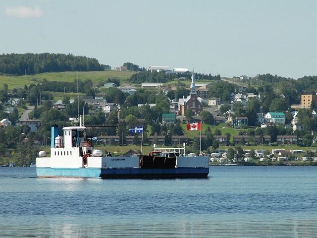 | ||
Points of interest Fort Ingall, BeauLieu Culturel du Témiscouata, Plage municipale de Pohén, Montagne du Fourneau, La Vieille Gare de Rivière‑Bleue Destinations Lac‑Témiscouata National, Pohenegamook, Dégelis, Témiscouata‑sur‑le‑Lac, Cabano | ||
Témiscouata is a regional county municipality in the Bas-Saint-Laurent region of Quebec, Canada. It is located southeast of Rivière-du-Loup, bordering New Brunswick, and is centred on Lake Témiscouata. Its seat is Témiscouata-sur-le-Lac.
Contents
Map of T%C3%A9miscouata Regional County Municipality, QC, Canada
Major industries include forestry, agriculture and maple syrup products.
Subdivisions
There are 19 subdivisions within the RCM:
Access Routes
Highways and numbered routes that run through the municipality, including external routes that start or finish at the county border:
References
Témiscouata Regional County Municipality Wikipedia(Text) CC BY-SA