
Country United States Time zone CST (UTC-6) Elevation 194 m Local time Monday 5:16 AM | Established November 4, 1856 ZIP codes 61944, 62423, 62441 Area 109.9 km² Population 1,158 (2010) | |
 | ||
Weather 12°C, Wind SE at 14 km/h, 81% Humidity | ||
Symmes Township is one of fifteen townships in Edgar County, Illinois, USA. As of the 2010 census, its population was 1,158 and it contained 502 housing units. The township was called Marion Township until May 9, 1857.
Contents
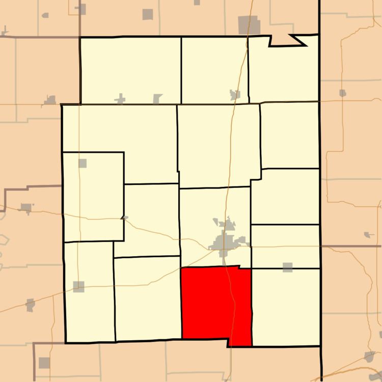
- Map of Symmes Township IL USA
- Geography
- Cities towns villages
- Unincorporated towns
- Extinct towns
- Cemeteries
- Major highways
- School districts
- Political districts
- References
Map of Symmes Township, IL, USA
Geography
According to the 2010 census, the township has a total area of 42.43 square miles (109.9 km2), of which 42.38 square miles (109.8 km2) (or 99.88%) is land and 0.04 square miles (0.10 km2) (or 0.09%) is water.
Cities, towns, villages
Unincorporated towns
Extinct towns
Cemeteries
The township contains these thirteen cemeteries: Cassady, Chronic, Elledge Holley, Laufman, Lycan, New Hope, O'Hair, Ogden, Quinn, Stephens, Swango, Walls and Zimmerly.
Major highways
School districts
Political districts
References
Symmes Township, Edgar County, Illinois Wikipedia(Text) CC BY-SA