
 | ||
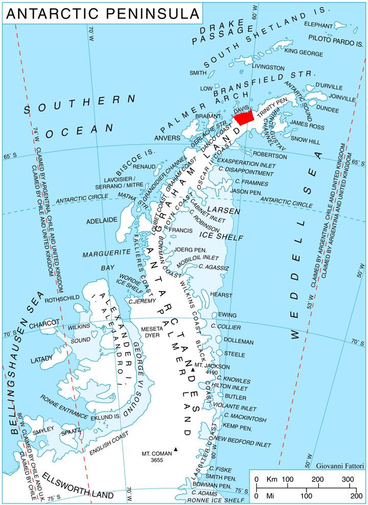
Svilengrad Peninsula (Bulgarian: полуостров Свиленград, ‘Poluostrov Svilengrad’ po-lu-'os-trov 'svi-len-grad) is the mostly ice-covered 5.6-km wide peninsula projecting 5.2 km in northwest direction into Orléans Strait from Davis Coast in Graham Land, Antarctica. It is bounded by Lanchester Bay to the southwest and Jordanoff Bay to the northeast. The peninsula ends in Wennersgaard Point to the northwest, and has its interior occupied by the north part of Korten Ridge.
Contents
The peninsula is named after the town of Svilengrad in Southern Bulgaria, location of an early Bulgarian Air Force base used during the First Balkan War 1912-1913.
Location
Svilengrad Peninsula is located at 63°52′15″S 59°54′00″W. German-British mapping in 1996.
Maps
References
Svilengrad Peninsula Wikipedia(Text) CC BY-SA