
 | ||
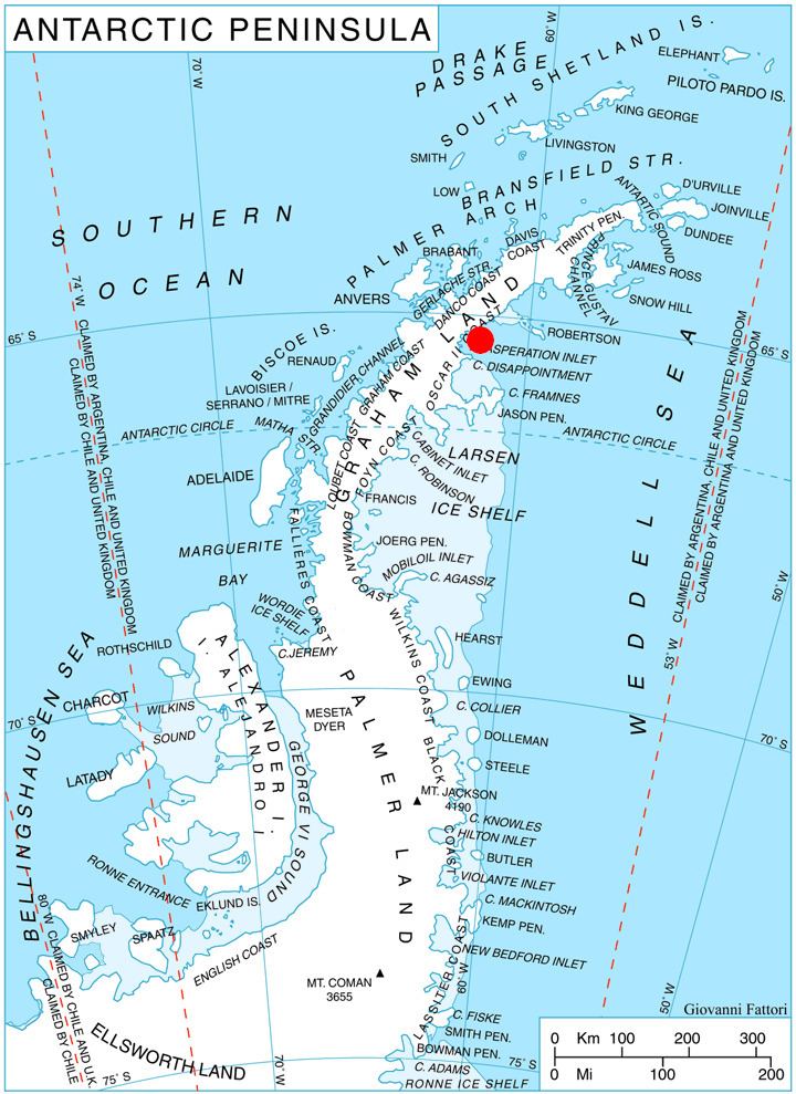
Svetlya Peak is a peak on the Antarctic Peninsula of Antarctica. The rocky, partly ice-free peak, rising to 550 m, is at the east extremity of Poibrene Heights on Blagoevgrad Peninsula, Oscar II Coast in Graham Land. It overlooks Vaughan Inlet to the northeast.
Contents
Map of Svetlya Peak, Antarctica
Svetlya Peak (Bulgarian: връх Светля, ‘Vrah Svetlya’ \'vr&h 'svet-lya) is named after the settlement of Svetlya in Western Bulgaria.
Location
Svetlya Peak is located at 65°09′06″S 61°44′35″W, which is 2.75 km east of St. Gorazd Peak, 8.84 km west of Daskot Point, and 8.87 km northwest of Kesten Point. British mapping in 1974.
Maps
References
Svetlya Peak Wikipedia(Text) CC BY-SA