Area 7.11 km² Population 120 (2002) | Traditional region Styria Elevation 817 m Local time Sunday 12:32 AM Municipality Muta | |
 | ||
Weather 7°C, Wind SW at 5 km/h, 64% Humidity | ||
Sv. Jernej nad Muto ([ˈsʋeːti jɛɾˈneːi̯ nad ˈmuːtɔ]) is a dispersed settlement in the hills north of Muta in the historical Styria region in northern Slovenia, right on the border with Austria. It also includes the former village of Bistriški Jarek, which was incorporated into the settlement in 1953.
Contents
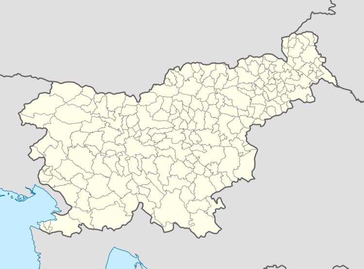
Map of 2366 Sveti Jernej nad Muto, Slovenia
Name
The name of the settlement was changed from Sveti Jernej nad Muto to Branik nad Muto in 1955. The name was changed on the basis of the 1948 Law on Names of Settlements and Designations of Squares, Streets, and Buildings as part of efforts by Slovenia’s postwar communist government to remove religious elements from toponyms. The name Sv. Jernej nad Muto was introduced in 1993.
Church
The parish church, from which the settlement gets its name, is dedicated to Saint Bartholomew (Slovene: Sveti Jernej) and was first mentioned in written documents dating to 1382. The current building dates to 1625 and belongs to the Roman Catholic Archdiocese of Maribor.
