
Country United States Incorporated 1784 Area code(s) 603 Elevation 283 m Local time Saturday 1:50 PM | County Merrimack Time zone Eastern (EST) (UTC-5) FIPS code 33-75460 Population 1,837 (2010) | |
 | ||
Weather 1°C, Wind N at 11 km/h, 90% Humidity Points of interest Wadleigh State Park, Wadleigh State Beach, Rowell Hill | ||
Enya pale grass blue over kezar lake north sutton new hampshire w q500 typhoon drone
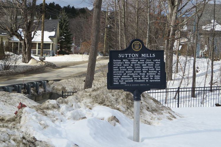
Sutton is a town in Merrimack County, New Hampshire, United States. The population was 1,837 at the 2010 census. Sutton includes the villages of Sutton Mills (shown as "Sutton" on topographic maps), North Sutton, South Sutton and East Sutton. North Sutton is home to Wadleigh State Park on Kezar Lake.
Contents
- Enya pale grass blue over kezar lake north sutton new hampshire w q500 typhoon drone
- Map of Sutton NH USA
- History
- Geography
- Demographics
- Education
- Notable people
- References
Map of Sutton, NH, USA
History
The town was granted in 1749 by the Masonian Proprietors to inhabitants of Haverhill, Newbury and Bradford, Massachusetts, as well as Kingston, New Hampshire. It was called Perrystown after Obadiah Perry, one of the proprietors. But the French and Indian War delayed settlement until 1767, when David Peaslee arrived. Many proprietors forfeited their claims, even with an extension in 1773, so the town was regranted in 1784. The second group of settlers were from Sutton, Massachusetts, source of the town's current name.
Geography
According to the United States Census Bureau, the town has a total area of 43.1 square miles (111.6 km2), of which 42.3 sq mi (109.6 km2) is land and 0.8 sq mi (2.1 km2) (1.85%) is water. The highest point in Sutton is the summit of Kings Hill, at approximately 1,930 feet (590 m) above sea level, in the northwest corner of the town.
The town is drained primarily by tributaries of the Warner River, which flows to the Contoocook River and ultimately the Merrimack River. The Lane River, a tributary of the Warner, drains a large portion of the center of town. The northern portion of town is drained by tributaries of the Blackwater River, another tributary of the Contoocook. The extreme northwest corner of town is part of the Lake Sunapee watershed, draining via the Sugar River of western New Hampshire into the Connecticut River. Blaisdell Lake is in the southwest part of the town.
Sutton is served by Interstate 89 and New Hampshire Route 114.
Demographics
As of the census of 2010, there were 1,837 people, 757 households, and 556 families residing in the town. The population density was 43.4 people per square mile (16.7/km²). There were 985 housing units at an average density of 23.3 per square mile (9.0/km²). The racial makeup of the town was 96.5% White, 0.3% Black or African American, 0.3% Native American, 0.8% Asian, 0.5% Native Hawaiian or other Pacific Islander, 0.3% some other race, and 1.4% from two or more races. Hispanic or Latino of any race were 1.1% of the population.
There were 757 households out of which 27.2% had children under the age of 18 living with them, 63.7% were headed by married couples living together, 7.1% had a female householder with no husband present, and 26.6% were non-families. 20.1% of all households were made up of individuals, and 6.9% had someone living alone who was 65 years of age or older. The average household size was 2.43, and the average family size was 2.78.
In the town, the population was spread out with 21.6% under the age of 18, 5.1% from 18 to 24, 21.9% from 25 to 44, 35.2% from 45 to 64, and 16.2% who were 65 years of age or older. The median age was 45.8 years. For every 100 females there were 100.5 males. For every 100 females age 18 and over, there were 99.7 males.
At the 2000 census, the median income for a household in the town was $50,924, and the median income for a family was $56,685. Males had a median income of $34,250 versus $30,658 for females. The per capita income for the town was $24,432. About 2.8% of families and 5.0% of the population were below the poverty line, including 8.0% of those under age 18 and 4.7% of those age 65 or over.
Education
There are three public schools in the town: Sutton Central School (an elementary school), Kearsarge Regional Middle School, and Kearsarge Regional High School.