
Country Area 54 km2 District Nalgonda | Languages spoken State Literacy 84.88% | |
 | ||
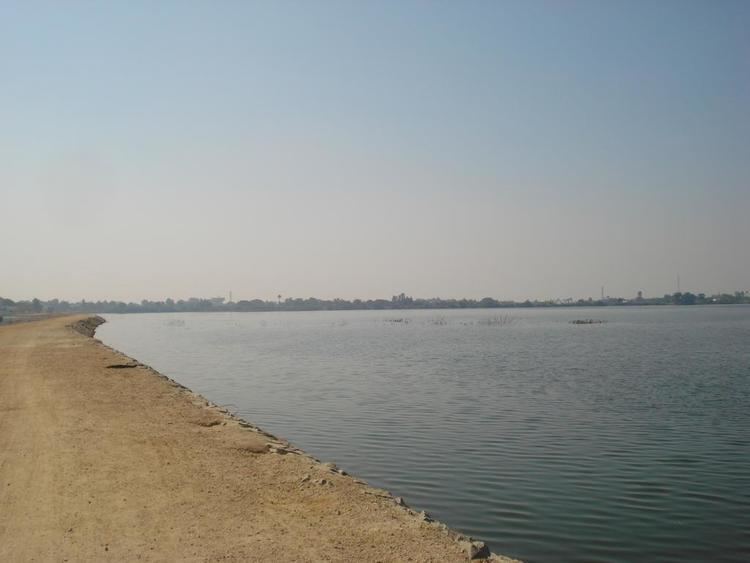
Map of Suryapet
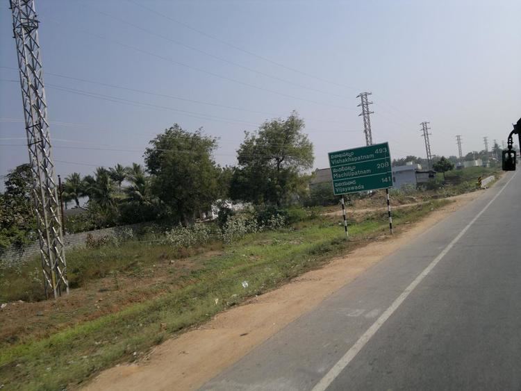
Suryapet is a city and the district headquarters of Suryapet district in the Indian state of Telangana. Government of India announced Suryapet to be developed under the Atal Mission for Rejuvenation and Urban Transformation (AMRUT) scheme. Suryapet sits at the junction of three National Highways linking it to other states.There is direct connectivity of Four Lane Express Highway from Hyderabad to Suryapet and Suryapet to Vijayawada.It lies on the National Highway 65 and is equidistant from the Hyderabad and Vijayawada.It is also known as "Gateway of Telangana". It is located about 134 kilometres (83 mi) east of the state capital, Hyderabad and also it is located about 138 kilometres (86 mi) West of the Andhra Pradesh state capital, Amaravathi.
Contents
- Map of Suryapet
- Atmakur si siddaiah injured in suryapet shoot out i news
- Suryapet song
- Etymology
- Geography
- History
- Climate
- Demographics
- Civic administration
- Transport
- References
Atmakur si siddaiah injured in suryapet shoot out i news
Suryapet song
Etymology
The name Suryapet is derived from "Surya" meaning Sun and "pet" meaning suburb.
Geography

Suryapet or Suriapet is located at 17.1500°N 79.6167°E / 17.1500; 79.6167. It has an area of 54 square kilometres (21 sq mi).
History
Chalukyas, Kakatiyas and Nizam dynasties ruled the region.
Climate
Under the Köppen climate classification, Suryapet experiences Tropical Wet and Dry Climate. The annual mean temperature is 36 °C .Monthly mean temperatures are 19–40 °C (66–104 °F).Summers (March–June) are hot and humid, with temperatures in the low 30s Celsius; during dry spells, maximum temperatures often exceed 45 °C in May and June. Winter lasts for only about two-and-a-half months, with seasonal lows dipping to 9–11 °C (48–52 °F) in December and January. May is the hottest month, with daily temperatures ranging from 35–43 °C (95–109 °F); January, the coldest month, has temperatures varying from 15–23 °C (59–73 °F). The highest recorded temperature is 51.02 °C (111.0 °F), and the lowest is 9 °C (48 °F).
Rains brought by the south-west summer monsoon lash Suryapet between June and September, supplying it with most of its annual rainfall of 821.0 mm . The highest total monthly rainfall, 180.0 mm, occurs in July .October and November also experiences increased rainfall from the North East Monsoon. Winter season starts in December and lasts through February. Temperatures range from a minimum of 18 °C and can reach 33 °C.
Demographics
As of 2011 India census, Suryapet had an urban metropolitan population of 1,06,524 Suryapet is the most populous city in Suryapet district. Apart from the city population, it has a floating population of approximately 10,000 from the neighbouring villages daily. Males constitute 52% of the population and females 48%. Suryapet has an average literacy rate of 84.88%, higher than the national average of 74.04.%: male literacy is 91.18%, and female literacy is 78.74%. In Suryapet, 11% of the population is under 6 years of age.
Civic administration
Suryapet municipality was constituted in 1952. It was upgraded to Grade–II in 1984, Grade–I on 7 November 1998. The area of the municipality is spread over an area of 54.00 km2 (20.85 sq mi) with 30 wards. The present municipal municipal commissioner is V. Surender and the chairman is Ganduri Pravalika Prakash.
Suryapet Municipality became the first waste-compliant city of India in 2003. It had won Green Leaf Award for Best Garbage Disposal in 2007.
Transport
There are three bus stands in Suryapet.
Many APSRTC and private buses also run through this city.