
Website maharashtra.gov.in Population 6,144 (2001) ISO 3166 code ISO 3166-2:IN | Time zone IST (UTC+5:30) Elevation 533 m Local time Saturday 1:59 PM | |
 | ||
Weather 36°C, Wind NW at 16 km/h, 20% Humidity | ||
Surgana is a census town and taluka in Nashik District in the Indian state of Maharashtra.
Contents
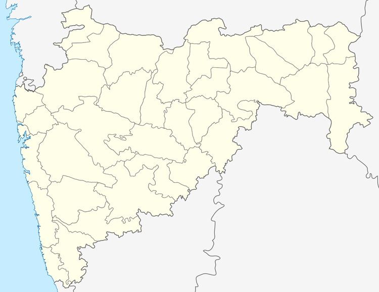
Map of Surgana, Maharashtra 422211
History
During the British Raj era, Surgana State was one of several princely states governed by the Parmar dynasty of Rajputs. It was the only state of the Nasik Agency.
Geography
Surgana is located at 20.57°N 73.62°E / 20.57; 73.62. It has an average elevation of 533 metres (1748 feet). It is about 90 km from Nashik.
Demographics
In the 2001 India census, Surgana had a population of 6,147. Males constituted 54% of the population and females 46%. Surgana had an average literacy rate of 70%, higher than the national average of 59.5%: male literacy was 75%, and female literacy was 64%. In 2001 in Surgana, 13% of the population was under 6 years of age.
References
Surgana Wikipedia(Text) CC BY-SA