
Founded 13 December 1882 Area 117.7 km² Population 5,022 (2015) | Elevation 1,780 m (5,840 ft) Local time Friday 1:41 PM | |
 | ||
Founded by Venancio and Isidro Aguilera Weather 21°C, Wind NW at 11 km/h, 75% Humidity | ||
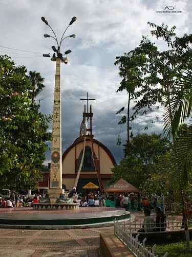
Supatá is a municipality and town of Colombia in the Gualivá Province, part of the department of Cundinamarca. Supatá is located 76 kilometres (47 mi) north of the Colombian capital Bogotá. Supatá borders the municipalities Pacho, Vergara, Subachoque, La Vega and San Francisco.
Contents
- Map of Supata SupatC3A1 Cundinamarca Colombia
- History and geography
- Economical activities
- Named after Supat
- References
Map of Supata, Supat%C3%A1, Cundinamarca, Colombia
History and geography
Before the arrival of the Spanish conquistadores in the central highlands of Colombia, the area around Supatá was inhabited by the Panche people. In Chibcha Supatá means "low and fertile land". The village is located on the northwestern edge of the Bogotá savanna at a relatively low altitude of 1780 m above sea level, while other areas within the municipality are much higher; the maximum elevation is 3,400 metres (11,200 ft).
On the El Tablazo mountain, at an altitude of 3285 m within the boundaries of Supatá, there's a cave named Cueva Chía; "Chía Cave". Chía was the Moon goddess of the Muisca who frequently invaded the territories of the Panche. It is said the people hid the treasures of Chía in this cave.
Economical activities
The main economical activity of Supatá is agriculture, particularly coffee, sugar cane, bananas and yuca.