
Population 228 (2011 census) Civil parish Sunk Island Local time Friday 3:25 PM | OS grid reference TA267190 Dialling code 01964 | |
 | ||
Weather 17°C, Wind SW at 34 km/h, 55% Humidity | ||
Sunk Island is a Crown Estate village and civil parish in the East Riding of Yorkshire, England. It lies 3 1⁄2 miles (6 km) south of Ottringham and 1 mile (1.6 km) to the north of the Humber Estuary. The Greenwich Meridian passes through the east of the parish.
Contents
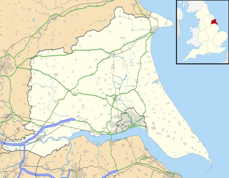
Map of Sunk Island, Hull, UK
According to the 2011 UK census, Sunk Island parish had a population of 228, an increase on the 2001 UK census figure of 224.
History
Sunk Island originated as a sand bank in the Humber Estuary; at first it was open sea, then sand accumulated there until visible at low tides, then at all tides. Colonel Gilby made the outer banks, empoldering it and making it useful for pasturage, under lease/gift from the crown.
By the reign of Charles I of England, it was said to form a 7-acre (3-hectare) island, 1 1⁄2 mi (2.4 km) from the mainland. From 1663, the land around it was gradually drained, and by the mid-18th century, the channel separating it from the shore had entirely silted up. It was parished in 1831.
A fort was built at the outbreak of the First World War.
Today, the settlement consists of a church, a few houses and various farms. Cottages were built 1855–7 by Samuel Sanders Teulon.
The parish church of the Holy Trinity, designed by Ewan Christian in the 1870s, is a Grade II listed building.