
Basin countries Canada | Surface area 3,600 ha (8,900 acres) Area 36 km² | |
 | ||
Location Abbotsford, British Columbia, Chilliwack | ||
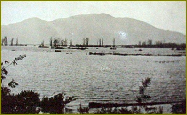
Sumas Lake (Halq’eméyle: Semá:th Lake, Nooksack: Semáts Xácho7, (Level Place Lake).,) was a shallow freshwater lake surrounded by extensive wetlands. The traditional territory of the Sumas First Nation, a band of the Sto:lo Nation, it was located between Sumas and Vedder Mountains, midway between the present-day cities of Chilliwack and Abbotsford, British Columbia. The lake supported sturgeon, trout, salmon, grizzly bears and geese. Its wetland habitat was a destination for migrating birds and a breeding ground for both fish and waterfowl. Flocks of white-fronted goose as well as whistling swan and Hutchins geese also used the lake. Its partially sandy banks also provided for sturgeon spawning grounds. The lake supplied food to the Sumas Band, and their life ways were intimately connected to it. In the late 1800s, the lake drew the attention of various naturalists within the growing European populations engaged in the work of cataloging the flora and fauna of the New World.
Contents
Map of Sumas Lake, Abbotsford, BC, Canada
Having been sold off to non-Indigenous settlers in the 1930s for $60- $120 an acre, the former lake bed has now been transformed into to agricultural, residential and commercial zones. It lay between Sumas Mountain and its American counterpart, Sumas Mountain, Washington, part of the foothills of the Cascade Mountains. The lake extended into Whatcom County, Washington, necessitating a railway trestle of the British Columbia Electric Railway across it from Huntingdon to the foot of Vedder Mountain, which remains today as a dyke.
Draining the LakeEdit
In order to create more fertile farm land for settlers, engineer Fred Sinclair formed a plan to drain the lake in the early 1920s. By 1924 the Vedder River had been diverted into the newly formed Vedder Canal. The lake was then drained through the Sumas Lake Canal and into the Fraser River. This process effectively turned Sumas Lake into the Sumas Prairie. The draining of this lake was tied to a process of land dispossession whereby Sumas First Nation lost 160 acres of their reserve land. The band is seeking compensation for this loss.