
Airport type Public Elevation AMSL 540 ft / 165 m 4,360 1,329 Code SIV Phone +1 812-268-6959 | 18/36 4,360 Elevation 165 m Serves Sullivan | |
 | ||
Similar Sullivan Mayor's Office, Sullivan County Voter Rsg, Sullivan County Circuit Co, Sullivan Animal Shelter, Sullivan County Superior | ||
Landing a cessna 172 in a reallyrough cross at sullivan county airport kmsv
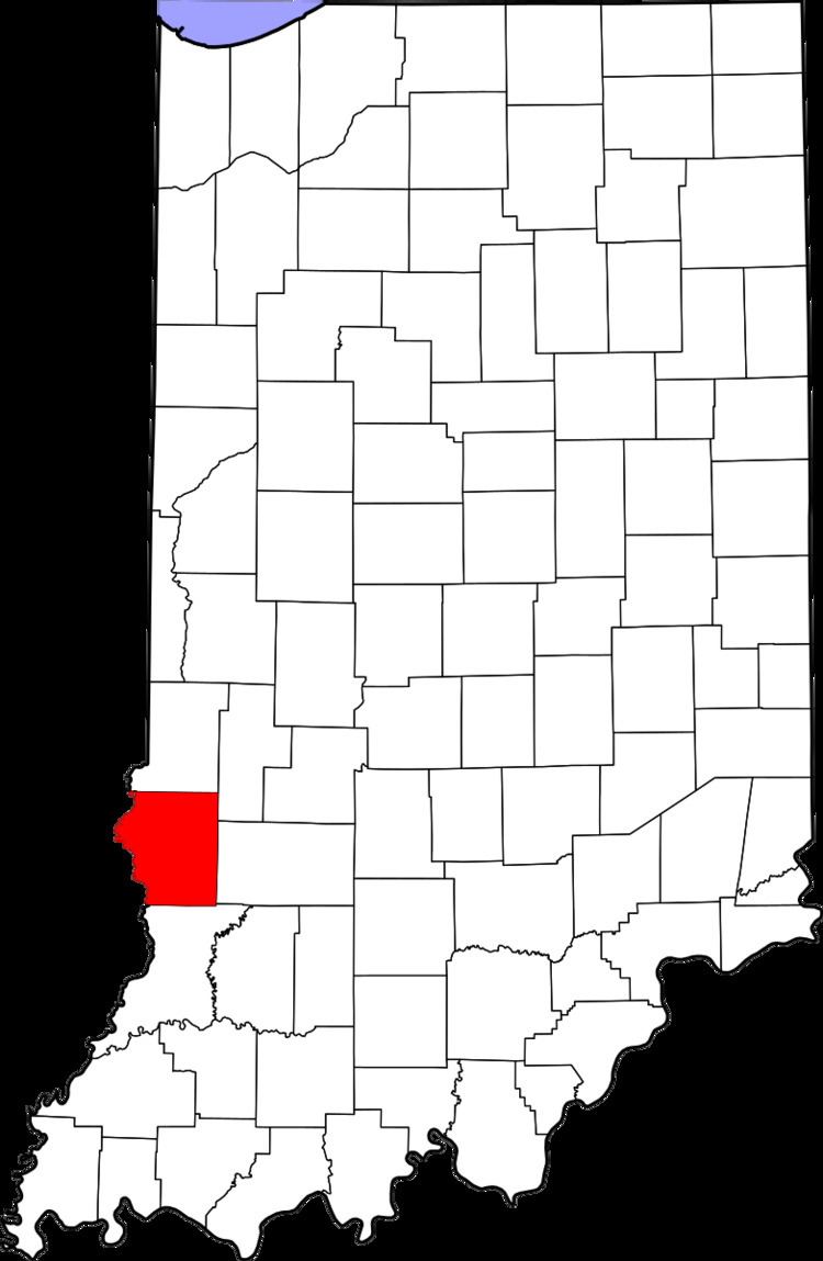
Sullivan County Airport (IATA: SIV, ICAO: KSIV, FAA LID: SIV) is a county-owned public-use airport located three nautical miles (6 km) northwest of the central business district of Sullivan, a city in Sullivan County, Indiana, United States. It is included in the FAA's National Plan of Integrated Airport Systems for 2011–2015, which categorized it as a general aviation facility.
Contents
- Landing a cessna 172 in a reallyrough cross at sullivan county airport kmsv
- 2012 ace academy sullivan county airport
- Facilities and aircraft
- References
2012 ace academy sullivan county airport
Facilities and aircraft
Sullivan County Airport covers an area of 108 acres (44 ha) at an elevation of 540 feet (165 m) above mean sea level. It has one asphalt paved runway designated 18/36 which measures 4,360 by 75 feet (1,329 x 23 m).
For the 12-month period ending December 31, 2006, the airport had 8,657 aircraft operations, an average of 23 per day: 97% general aviation and 3% air taxi. At that time there were 29 aircraft based at this airport: 97% single-engine and 3% multi-engine.