Suvarna Garge (Editor)

Sugarloaf Island (South Shetland Islands)

Updated on
Edit
Like
Comment
Share on FacebookTweet on TwitterShare on LinkedInShare on Reddit
Sugarloaf Island (South Shetland Islands)

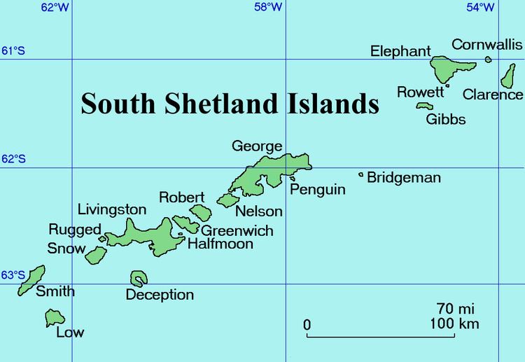
Sugarloaf Island is a conspicuous small island which lies close to the east side of Clarence Island, midway between Cape Lloyd and Cape Bowles, in the South Shetland Islands, Antarctica. The name was in use by American and British sealers as early as 1822 and is now well established.

Contents

Map of Sugarloaf Island, Australia

Location

Sugarloaf Island is located at 61°13′13″S 54°01′19.3″W, which is 3.2 km north of Lebed Point, on the north side of the entrance to Istros Bay.

Maps

  • British Antarctic Territory. Scale 1:200000 topographic map. DOS 610 Series, Sheet W 61 54. Directorate of Overseas Surveys, Tolworth, UK, 1972.
  • South Shetland Islands: Elephant, Clarence and Gibbs Islands. Scale 1:220000 topographic map. UK Antarctic Place-names Committee, 2009.
  • Antarctic Digital Database (ADD). Scale 1:250000 topographic map of Antarctica. Scientific Committee on Antarctic Research (SCAR), 1993–2016.
  • References

    Sugarloaf Island (South Shetland Islands) Wikipedia