Kalpana Kalpana (Editor)

Istros Bay

Updated on
Edit
Like
Comment
Share on FacebookTweet on TwitterShare on LinkedInShare on Reddit
Istros Bay

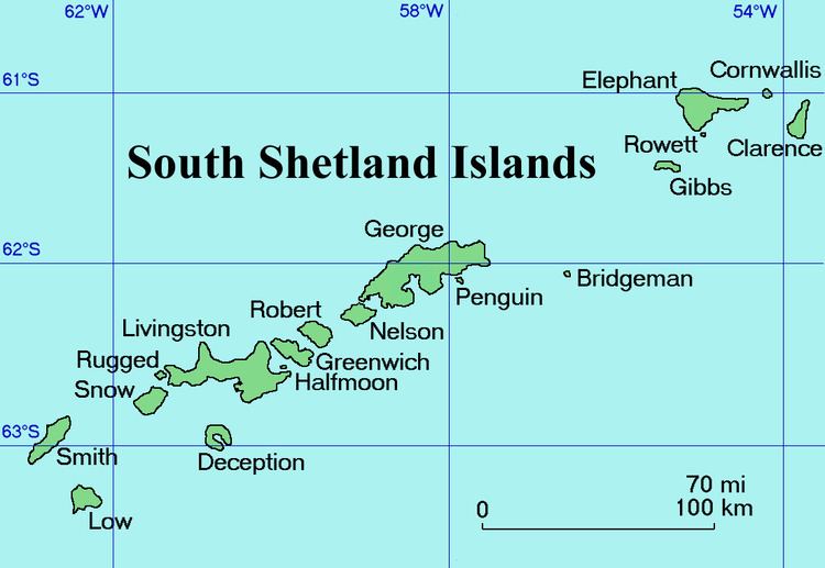
Istros Bay (Bulgarian: залив Истрос, ‘Zaliv Istros’ \'za-liv 'is-tros) is the 3.2 km wide bay indenting for 1.4 km the east coast of Clarence Island in the South Shetland Islands, Antarctica. It is entered north of Lebed Point and south of Sugarloaf Island, and has its head fed by Highton Glacier. Istros is the ancient name for the lower Danube River.

Contents

Location

Istros Bay is centred at 61°14′15″S 54°02′30″W. British mapping in 1972 and 2009.

Maps

  • British Antarctic Territory. Scale 1:200000 topographic map. DOS 610 Series, Sheet W 61 54. Directorate of Overseas Surveys, Tolworth, UK, 1972.
  • South Shetland Islands: Elephant, Clarence and Gibbs Islands. Scale 1:220000 topographic map. UK Antarctic Place-names Committee, 2009.
  • Antarctic Digital Database (ADD). Scale 1:250000 topographic map of Antarctica. Scientific Committee on Antarctic Research (SCAR), 1993–2016.
  • References

    Istros Bay Wikipedia