 | ||
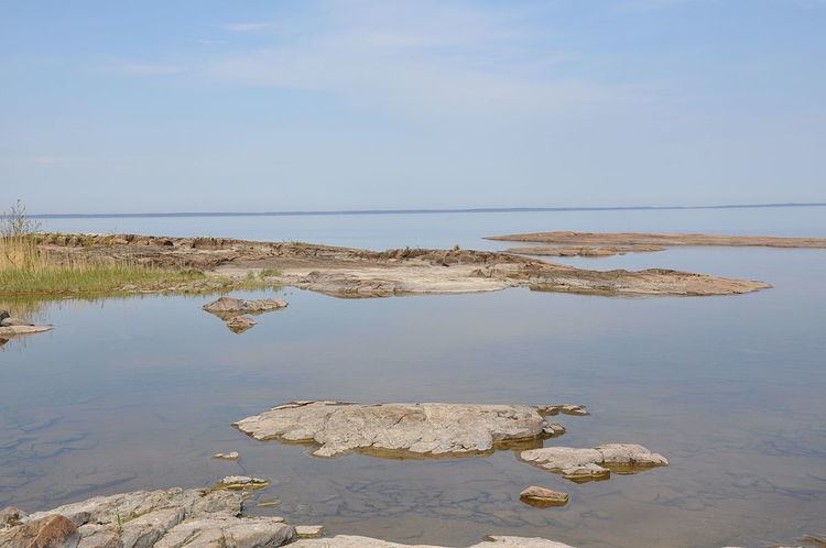
The sub-Cambrian peneplain is a geomorphic unit covering large swathes of Fennoscandia. It consists in a series of discontiguous low relief zones that are at some locations covered by sedimentary rock dating to the Cambrian. Close to the cover rocks the exposed parts of the peneplain are extraordinarily flat.
Contents
Extent
The Sub-Cambrian peneplain extends as an almost continuous belt along the eastern coast of Sweden for some 700 km from north to south. Near Stockholm and Hudiksvall the peneplain is densely dissected by joint valleys and at the High Coast is the Sub-Cambrian penepain is both highly uplifted and eroded. More inland the peneplain to the crestal region of the South Swedish Dome (South Swedish highlands) where it is dissected by joint valleys, a similar situation occurs in central Norrland, including Stöttingfjället, where the peneplain is estimated to have been uplifted about 650 meters giving origin to a series of water gaps including those of Ångermanälven, Indalsälven and Ljusnan.
To the east the Sub-Cambrian peneplain continues as an unconformity beneath the East European Platform. The island Blå Jungfrun in the Baltic Sea is an ancient inselberg belonging to the Sub-Cambrian peneplain. Being a inselberg formed in Precambrian time it was buried in sandstone after its formation and remained buried until erosion of the East European Platform freed it in geologically recent times.
In the central Swedish lowlands the peneplain extends further west being 450 km wide from west to east. Further west parts of the Paleic surface in Norway have been interpreted to be part of the peneplain that has been tectonically uplifted and is apparently disrupted by NNE-SSW trending faults. The 1,100 m high Hardangervidda plateau in Norway is an example of an area thought to be a uplifted remnant of the peneplain.
Origin
Interpretations of Jotnian sandstone imply that much of the Baltic Shield have had faint relief since the Mesoproterozoic, but no exhumed peneplain from this period has been preserved. The peneplain formed after 600 million years ago but prior to the Cambrian trangression. The basement rocks forming the peneplain surface were exhumed from depths were the temperature was in excess of 100° C prior to the formation of peneplain. Karna Lidmar-Bergström and co-workers assume the peneplain formed though a cycle of erosion with a preceding valley phase and that is grades down to a former sea level.
Sedimentary rock cover
The flatness of the peneplain meant that during the Cambrian transgression very large areas were swiftly flooded forming large and shallow inland seas in evolving configurations. The new relief formed on top of Cambrian sediments smoothed out irregularities in the peneplain.
